Loading...
Loading map...2022 Map of Wilkesboro
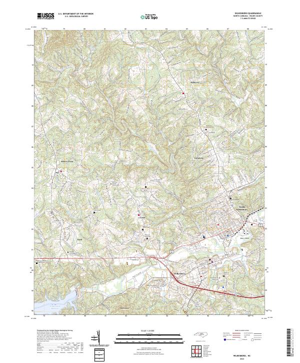
USGS Topo · Published 2022About this map
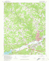
The Yadkin River and Reddies River converge at the heart of this region, shaping the development of Wilkesboro and North Wilkesboro. This 2022 survey captures the administrative and educational hub of the county, featuring the Wilkes County Courthouse and the campus of Wilkes Community College. The landscape is a mix of urban centers and traditional mountain communities such as Millers Creek, Mulberry, and Fairplains.
Find a feature on this map
217 named features on this map. Tap any name to fly to it.
Don’t see what you’re looking for? This feature index may not catch every label — zoom into the map to look around manually.
Map Details
Date Portrayed2022
Date Published2022
PublisherU.S. Geological Survey
Map TypeTopographic
Scale1:24000
Physical Dimensions24 x 29 inches
Editions of this 2022 Wilkesboro Map
This is the sole edition of this map. No revisions or reprints were ever made.
Historical Maps of Adley Through Time
4 maps found


Featured Locations
Source Details
SourceU.S. Geological Survey
CopyrightPublic Domain