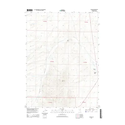
2014 Map of Wilkins
USGS Topo · Published 2014About this map
Wilkins sits at the eastern edge of this northern Nevada landscape, where the Union Pacific Railroad cuts a north-south line through the high desert. The map reveals a complex drainage system centered on Thousand Springs Cr, which winds through the Thousand Springs Valley. This waterway is fed by numerous tributaries including Cold Springs Cr, Willow Cr, and Loomis Cr. The western portion of the quadrangle is defined by the elevation of the Windermere Hills, while Red Point stands as a distinct landmark to the north. The presence of the railroad alongside these intermittent creek beds illustrates the historical reliance on natural corridors for transit in this arid region, connecting isolated settlements like Wilkins to the broader regional network via the steel rail.
Find a feature on this map
18 named features on this map. Tap any name to fly to it.
Don’t see what you’re looking for? This feature index may not catch every label — zoom into the map to look around manually.
Map Details
Editions of this 2014 Wilkins Map
This is the sole edition of this map. No revisions or reprints were ever made.
Other maps of this area

1955 · Wells
USGS Topo · 1:250,000

1958 · Wells
USGS Topo · 1:250,000

1961 · Wells
USGS Topo · 1:250,000

1968 · Wilkins
USGS Topo · 1:24,000

1968 · Melandco
USGS Topo · 1:24,000

1968 · Knoll Mountain
USGS Topo · 1:24,000

1968 · Summer Camp
USGS Topo · 1:24,000

1968 · Wine Cup Ranch
USGS Topo · 1:24,000
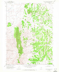
1968 · Wine Cup Ranch SW
USGS Topo · 1:24,000
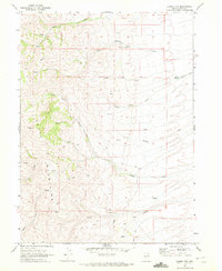
1968 · Loomis Mtn
USGS Topo · 1:24,000