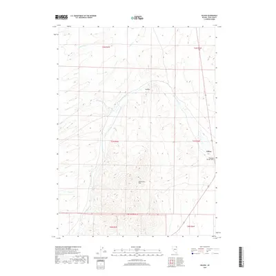
2018 Map of Wilkins
USGS Topo · Published 2018About this map
Thousand Springs Valley defines the eastern reach of this Elko County landscape, where the small settlement of Wilkins sits along the corridor of U.S. Route 93. This high-desert terrain is structured by the prominent Windermere Hills to the south and the landmark Red Point overlooking the drainage of Thousand Springs Cr. The area is defined by a dendritic network of seasonal watercourses, including Cold Springs Cr, Willow Cr, and Spring Cr, which descend from the surrounding uplands toward the valley floor. The map provides a detailed view of the township and range survey system, documenting sections across T41N R63E and T41N R64E. For those tracing the geography of northeastern Nevada, these labels represent the critical water sources and landmarks that have shaped ranching and travel through this part of the Great Basin.
Find a feature on this map
18 named features on this map. Tap any name to fly to it.
Don’t see what you’re looking for? This feature index may not catch every label — zoom into the map to look around manually.
Map Details
Editions of this 2018 Wilkins Map
This is the sole edition of this map. No revisions or reprints were ever made.
Other maps of this area

1955 · Wells
USGS Topo · 1:250,000

1958 · Wells
USGS Topo · 1:250,000

1961 · Wells
USGS Topo · 1:250,000

1968 · Wilkins
USGS Topo · 1:24,000

1968 · Melandco
USGS Topo · 1:24,000

1968 · Knoll Mountain
USGS Topo · 1:24,000

1968 · Summer Camp
USGS Topo · 1:24,000

1968 · Wine Cup Ranch
USGS Topo · 1:24,000
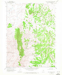
1968 · Wine Cup Ranch SW
USGS Topo · 1:24,000
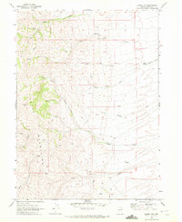
1968 · Loomis Mtn
USGS Topo · 1:24,000