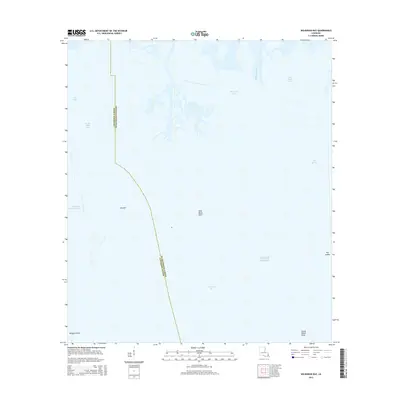
2015 Map of Wilkinson Bay
USGS Topo · Published 2015About this map
The low-lying coastal marshes of Jefferson and Plaquemines Parishes are defined by a complex network of waterways and shifting shorelines. The settlement of Manilla sits at the edge of this amphibious landscape, where the Barataria Bay Waterway cuts a straight path through the natural curves of the delta. This 2015 survey illustrates how the land dissolves into the Gulf of Mexico, with prominent landmarks like Saint Marys Point, Big Island, and Grand Island Point marking the transition from marsh to open water.
Find a feature on this map
16 named features on this map. Tap any name to fly to it.
Don’t see what you’re looking for? This feature index may not catch every label — zoom into the map to look around manually.
Map Details
Editions of this 2015 Wilkinson Bay Map
This is the sole edition of this map. No revisions or reprints were ever made.
Other maps of this area

1891 · Pointe a La Hache
USGS Topo · 1:62,500

1892 · Barataria
USGS Topo · 1:62,500

1892 · Creole
USGS Topo · 1:62,500

1892 · Pointe a La Hache
USGS Topo · 1:62,500

1893 · Fort Livingston
USGS Topo · 1:62,500

1935 · Bay Ronquille
USGS Topo · 1:31,680

1935 · Wilkinson Bay
USGS Topo · 1:31,680

1939 · Pointe a La Hache
USGS Topo · 1:62,500

1941 · Barataria
USGS Topo · 1:62,500

1944 · Barataria
USGS Topo · 1:62,500