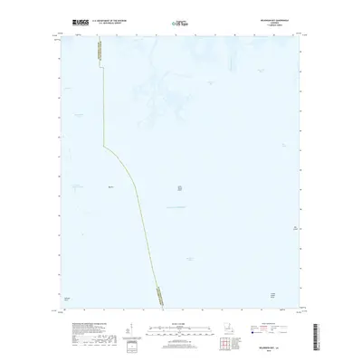
2018 Map of Wilkinson Bay
USGS Topo · Published 2018About this map
The coastal marshlands and open waters of Jefferson Parish and Plaquemines Parish are meticulously detailed in this contemporary coastal survey. The boundary between the two parishes meanders through the central portion of the map, cutting across the Gulf of Mexico and separating the inner waters of Barataria Bay from the labyrinth of wetlands to the north. This environment is characterized by precarious landmasses and vital coastal navigation routes, most notably the Barataria Bay Waterway, which provides a critical corridor through the shifting sediment.
Find a feature on this map
16 named features on this map. Tap any name to fly to it.
Don’t see what you’re looking for? This feature index may not catch every label — zoom into the map to look around manually.
Map Details
Editions of this 2018 Wilkinson Bay Map
This is the sole edition of this map. No revisions or reprints were ever made.
Other maps of this area

1891 · Pointe a La Hache
USGS Topo · 1:62,500

1892 · Barataria
USGS Topo · 1:62,500

1892 · Creole
USGS Topo · 1:62,500

1892 · Pointe a La Hache
USGS Topo · 1:62,500

1893 · Fort Livingston
USGS Topo · 1:62,500

1935 · Bay Ronquille
USGS Topo · 1:31,680

1935 · Wilkinson Bay
USGS Topo · 1:31,680

1939 · Pointe a La Hache
USGS Topo · 1:62,500

1941 · Barataria
USGS Topo · 1:62,500

1944 · Barataria
USGS Topo · 1:62,500