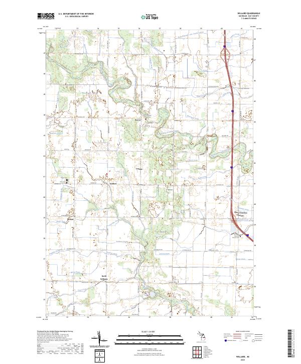
2023 Map of Willard
USGS Topo · Published 2023About this map
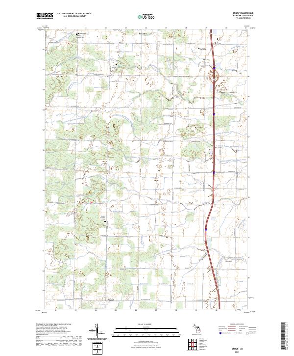
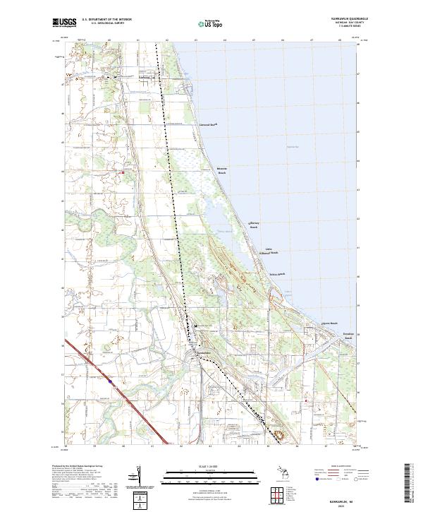
Agricultural lands and a complex network of drainage systems characterize this portion of Bay County, where the North Branch Kawkawlin River meanders through the central terrain. Small rural crossroads and communities such as Willard, Beaver, and Loehme anchor the landscape, reflecting a long-standing pattern of dispersed settlement and family-owned farms. The area is defined by its water management history, evidenced by dozens of named channels like Morrison Drain, Kowalski Drain, and Shinbines Drain, which were essential for converting the low-lying terrain into productive acreage.
Find a feature on this map
104 named features on this map. Tap any name to fly to it.
Don’t see what you’re looking for? This feature index may not catch every label — zoom into the map to look around manually.
Map Details
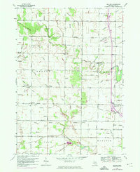
Editions of this 2023 Willard Map
This is the sole edition of this map. No revisions or reprints were ever made.
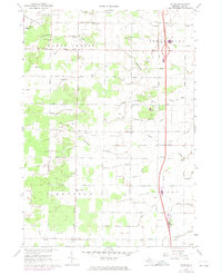
Historical Maps of Williams Township Through Time
10 maps found
Featured Locations
- Kawkawlin Township, MI
- Fraser Township, MI
- Beaver, Beaver Township
- Loehme, Beaver Township
- Seidlers, Beaver Township