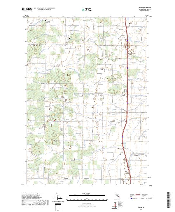
2023 Map of Crump
USGS Topo · Published 2023About this map
Crump and Woodville sit within a landscape defined by an intricate network of agricultural drainage in this northern Bay County study. The terrain is crossed by numerous named waterways including the Pinconning River, White Feather Creek, and the South Branch Pinconning River. These natural features are supplemented by man-made channels like the Fraser Garfield Drain, Erickson Drain, and Railroad Drain, reflecting the area's history of land reclamation for farming.
Find a feature on this map
74 named features on this map. Tap any name to fly to it.
Don’t see what you’re looking for? This feature index may not catch every label — zoom into the map to look around manually.
Map Details
Editions of this 2023 Crump Map
This is the sole edition of this map. No revisions or reprints were ever made.
Other maps of this area

1916 · Bay City
USGS Topo · 1:62,500

1919 · Bay City
USGS Topo · 1:62,500

1943 · Bay City
USGS Topo · 1:62,500

1954 · Midland
USGS Topo · 1:250,000

1954 · Flint
USGS Topo · 1:250,000

1958 · Flint
USGS Topo · 1:250,000

1958 · Midland
USGS Topo · 1:250,000

1959 · Midland
USGS Topo · 1:250,000

1962 · Willard
USGS Topo · 1:24,000

1962 · Midland North
USGS Topo · 1:24,000