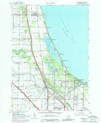
1967 Map of Kawkawlin
USGS Topo · Published 1987About this map
Saginaw Bay defines the eastern edge of this Michigan landscape, where the shoreline is a complex of wetlands and recreational beaches. The expansive Tobico Marsh State Game Area and Bay City State Park preserve the natural hydrology of the Tobico Lagoon, separating the coastal developments like Linwood Beach and Lagoon Beach from the interior agricultural and township lands. This coastal dynamic is further shaped by the Kawkawlin River and its North Branch, which snake through the townships of Fraser, Kawkawlin, and Bangor.
Find a feature on this map
70 named features on this map. Tap any name to fly to it.
Don’t see what you’re looking for? This feature index may not catch every label — zoom into the map to look around manually.
Map Details
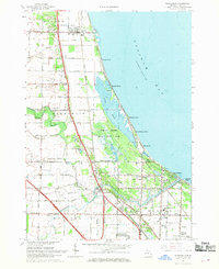
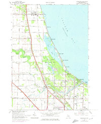
Editions of this 1967 Kawkawlin Map
3 editions found
Other maps of this area

1916 · Bay City
USGS Topo · 1:62,500

1919 · Bay City
USGS Topo · 1:62,500

1943 · Bay City
USGS Topo · 1:62,500

1954 · Midland
USGS Topo · 1:250,000

1954 · Flint
USGS Topo · 1:250,000

1958 · Flint
USGS Topo · 1:250,000

1958 · Midland
USGS Topo · 1:250,000

1959 · Midland
USGS Topo · 1:250,000

1962 · Willard
USGS Topo · 1:24,000
1962 · Auburn
USGS Topo · 1:24,000