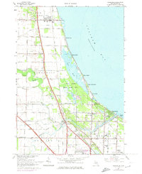
1967 Map of Kawkawlin
USGS Topo · Published 1974About this map
Saginaw Bay defines the eastern edge of this Michigan landscape, where a dense network of agricultural drains and coastal marshes meets the water. During the mid-1960s, the area south of Linwood shows a transition from rural farmland to recreational shoreline communities like Brissette Beach and Killarney Beach. The lower reaches of the Kawkawlin River and its branches serve as the focal point for settlement, winding past the Kawkawlin Village Sch toward the bay. The map reveals the local infrastructure of the era, from the dual rail lines of the Detroit and Mackinac and Penn Central to the preservation of the Tobico Marsh State Game Area. Genealogists may find particular value in the clearly marked Heavenly Rest Cem and St Ann Cem, along with numerous local schools that served these growing townships.
Find a feature on this map
71 named features on this map. Tap any name to fly to it.
Don’t see what you’re looking for? This feature index may not catch every label — zoom into the map to look around manually.
Map Details
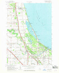
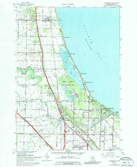
Editions of this 1967 Kawkawlin Map
3 editions found
Other maps of this area

1916 · Bay City
USGS Topo · 1:62,500

1919 · Bay City
USGS Topo · 1:62,500

1943 · Bay City
USGS Topo · 1:62,500

1954 · Midland
USGS Topo · 1:250,000

1954 · Flint
USGS Topo · 1:250,000

1958 · Flint
USGS Topo · 1:250,000

1958 · Midland
USGS Topo · 1:250,000

1959 · Midland
USGS Topo · 1:250,000

1962 · Willard
USGS Topo · 1:24,000
1962 · Auburn
USGS Topo · 1:24,000