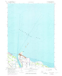
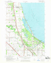
1967 Map of Bay City NE
USGS Topo · Published 1974About this map
The Saginaw River creates a vital industrial corridor where it meets the southern reaches of Saginaw Bay in this 1967 survey. Along the river’s mouth, the infrastructure of Great Lakes shipping is prominently marked, including the U S Coast Guard Station, a Lighthouse, and a large Conveyor system supporting the local port economy. The eastern bank is dominated by the city of Essexville, which is bordered by extensive Settling Ponds and the Quanicassee Wildlife Area, illustrating the intersection of heavy industry and shoreline conservation.
Find a feature on this map
33 named features on this map. Tap any name to fly to it.
Don’t see what you’re looking for? This feature index may not catch every label — zoom into the map to look around manually.
Map Details
Editions of this 1967 Bay City NE Map
2 editions found
Other maps of this area

1916 · Bay City
USGS Topo · 1:62,500

1919 · Bay City
USGS Topo · 1:62,500

1943 · Bay City
USGS Topo · 1:62,500

1954 · Flint
USGS Topo · 1:250,000

1958 · Flint
USGS Topo · 1:250,000

1963 · Quanicassee
USGS Topo · 1:24,000
1967 · Essexville
USGS Topo · 1:24,000
1967 · Bay City NE
USGS Topo · 1:24,000
1967 · Pinconning
USGS Topo · 1:24,000
1967 · Kawkawlin
USGS Topo · 1:24,000