
1981 Map of Willard
USGS Topo · Published 1981About this map
Willard stands as the primary settlement within this Fallon County landscape, situated on the high ground between several ephemeral watercourses. The terrain is defined by a dense network of coulees and drainage systems, including the serpentine paths of Hidden Water Creek and Richards Creek. This 1981 survey illustrates a region where the natural topography dictates the placement of infrastructure, such as the prominent Radio Tower and the various industrial and agricultural sites marked simply as Well or Flowing Well. The land use of the era is further evidenced by several Gravel Pit locations, supporting the local road network that connects these remote points. To the south, the map captures the headwaters of Dry Creek and Duck Creek, which eventually lead toward Little Beaver Creek, showing the complex hydraulic patterns of the eastern Montana plains.
Find a feature on this map
14 named features on this map. Tap any name to fly to it.
Don’t see what you’re looking for? This feature index may not catch every label — zoom into the map to look around manually.
Map Details
Editions of this 1981 Willard Map
This is the sole edition of this map. No revisions or reprints were ever made.
Other maps of this area

1953 · Miles City
USGS Topo · 1:250,000

1957 · Miles City
USGS Topo · 1:250,000

1958 · Miles City
USGS Topo · 1:250,000

1981 · Webster NW
USGS Topo · 1:24,000

1981 · Baker
USGS Topo · 1:100,000

1981 · Buffalo Reservoir
USGS Topo · 1:24,000

1981 · Baker
USGS Topo · 1:24,000

1981 · South Sandstone Reservoir
USGS Topo · 1:24,000
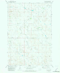
1981 · Willard SE
USGS Topo · 1:24,000
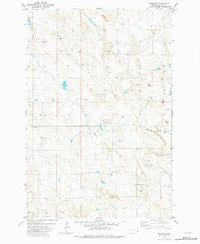
1981 · Webster
USGS Topo · 1:24,000