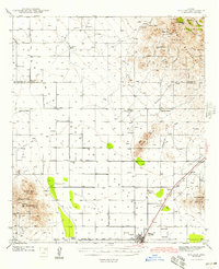
1943 Map of Willcox
USGS Topo · Published 1943About this map
Sulphur Spring Valley dominates this wartime-era survey of southeastern Arizona, showing a landscape defined by extensive ranching and the crucial corridor of the Southern Pacific Railroad Pass. The town of Willcox is the primary hub, situated near the Airport and a local Cem, with the Southern Pacific Railroad running southeast through the small stations of Drury and Raso.
Find a feature on this map
42 named features on this map. Tap any name to fly to it.
Don’t see what you’re looking for? This feature index may not catch every label — zoom into the map to look around manually.
Map Details
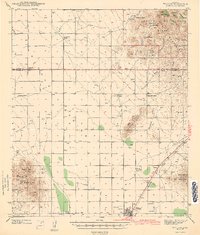
Editions of this 1943 Willcox Map
3 editions found
Other maps of this area

1922 · Willcox
USGS Topo · 1:125,000

1940 · Sierra Bonita Ranch
USGS Topo · 1:62,500

1942 · Sierra Bonita Ranch
USGS Topo · 1:62,500

1942 · Mt. Graham
USGS Topo · 1:62,500

1943 · Dos Cabezas
USGS Topo · 1:62,500

1943 · Willcox
USGS Topo · 1:62,500

1943 · Cochise
USGS Topo · 1:62,500

1943 · Dragoon
USGS Topo · 1:62,500

1943 · Sierra Bonita Ranch
USGS Topo · 1:62,500

1943 · Winchester Mts.
USGS Topo · 1:62,500