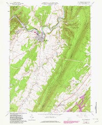
1963 Map of Williams
USGS Topo · Published 1982About this map
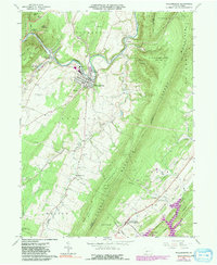
The Frankstown Branch Juniata River winds through the heart of the central Pennsylvania ridge-and-valley landscape, anchoring the borough of Williamsburg. In this early 1960s study, the town appears as a hub of local industry and transport, featuring a Powerplant, a Sewage disposal facility, and the rail connections at Springfield Junction. The surrounding terrain is defined by the massive parallel heights of Tussey Mountain and Walker Mountain, which hem in smaller agricultural and residential pockets like Robeson Extension and Shelltown.
Find a feature on this map
68 named features on this map. Tap any name to fly to it.
Don’t see what you’re looking for? This feature index may not catch every label — zoom into the map to look around manually.
Map Details
Editions of this 1963 Williams Map
5 editions found
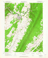
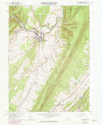
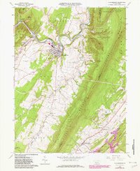
Other maps of this area

1901 · Huntingdon
USGS Topo · 1:62,500

1902 · Hollidaysburg
USGS Topo · 1:62,500

1903 · Hollidaysburg
USGS Topo · 1:62,500

1904 · Huntingdon
USGS Topo · 1:62,500

1920 · Altoona
USGS Topo · 1:62,500

1922 · Altoona
USGS Topo · 1:62,500

1923 · Tyrone
USGS Topo · 1:62,500

1929 · Tyrone
USGS Topo · 1:48,000

1933 · Tyrone
USGS Topo · 1:62,500

1946 · Tyrone
USGS Topo · 1:62,500
Featured Places
- Frankstown Township, PA
- Williamsburg, PA
- Marklesburg, PA
- Larke, Woodbury Township
- Franklin Forge, Woodbury Township