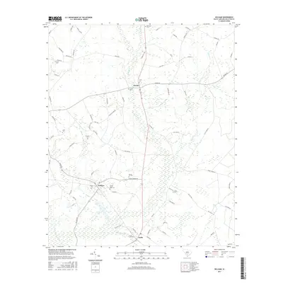
2017 Map of Williams
USGS Topo · Published 2017About this map
Smoaks, Williams, and Ruffin anchor this survey of the South Carolina Lowcountry, where the landscape is defined by the winding course of the Little Salkehatchie River and its numerous tributaries. The area is notable for its high concentration of family and community burial grounds, such as the Colonel Joseph Risher Cem, Warren - Key Cem, and Tabernacle Cem, which serve as vital markers of local heritage. The drainage patterns of Buckhead Cr, Deep Bottom Cr, and Bear Br illustrate the swampy, low-lying terrain that shaped the agricultural and settlement history of Colleton County. Large water features like J J Padgett Pond and the marshy Horse Bay further highlight the hydrological character of this region, while the presence of Westvaco in the southeast indicates the importance of the timber industry to the local economy.
Find a feature on this map
82 named features on this map. Tap any name to fly to it.
Don’t see what you’re looking for? This feature index may not catch every label — zoom into the map to look around manually.
Map Details
Editions of this 2017 Williams Map
This is the sole edition of this map. No revisions or reprints were ever made.
Other maps of this area

1918 · Walterboro
USGS Topo · 1:62,500

1919 · Cummings
USGS Topo · 1:62,500

1919 · Lodge
USGS Topo · 1:62,500

1920 · Lodge
USGS Topo · 1:48,000

1920 · St. George
USGS Topo · 1:48,000

1921 · Lodge
USGS Topo · 1:62,500

1921 · St. George
USGS Topo · 1:62,500

1943 · Lodge
USGS Topo · 1:62,500

1943 · Orangeburg
USGS Topo · 1:125,000

1943 · Cummings
USGS Topo · 1:62,500