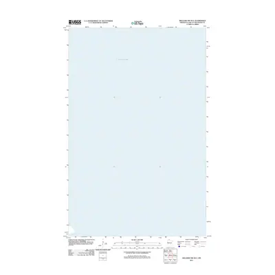
2011 Map of Williams NW OE E
USGS Topo · Published 2011About this map
Lake of Woods dominates this northern frontier landscape, representing a vast expanse of open water along the international boundary in 2011. The map focuses almost entirely on the aquatic geography of the lake, with only the extreme southwestern corner revealing the shoreline at Zippel Bay. This particular sheet emphasizes the sheer scale of the water body, providing a specialized view for those studying the hydrography and shoreline transitions of Lake of the Woods County. The lack of terrestrial developments or roads on this specific quadrangle highlights the maritime nature of this region, where the lake's surface and coastal inlets are the primary geographic features of interest.
Find a feature on this map
2 named features on this map. Tap any name to fly to it.
Don’t see what you’re looking for? This feature index may not catch every label — zoom into the map to look around manually.
Map Details
Editions of this 2011 Williams NW OE E Map
This is the sole edition of this map. No revisions or reprints were ever made.
Other maps of this area

1918 · Williams
USGS Topo · 1:62,500

1919 · Canada
USGS Topo · 1:62,500

1954 · Roseau
USGS Topo · 1:250,000

1957 · Roseau
USGS Topo · 1:250,000

1958 · Roseau
USGS Topo · 1:250,000

1963 · Kenora
USGS Topo · 1:250,000

1967 · Williams
USGS Topo · 1:24,000
1967 · Williams NW
USGS Topo · 1:24,000
1967 · Williams SE
USGS Topo · 1:24,000
1967 · Wheelers Point
USGS Topo · 1:24,000