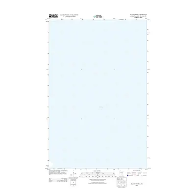
2013 Map of Williams NW OE E
USGS Topo · Published 2013About this map
Lake of the Woods dominates this quadrangle, offering a focused view of the expansive waters within Lake of the Woods County. The 2013 survey provides a clear representation of the open water and its immediate shoreline as defined by the National Hydrography Dataset. This specific sheet focuses on a largely aquatic expanse, illustrating the significant scale of the lake and its place in the regional landscape. While the map is sparse on terrestrial landmarks, it serves as an essential reference for understanding the geography of the northern border waters in Minnesota. Researchers can observe the charted boundaries and the relationship between the water and the surrounding shoreline as it appeared in the early 21st century.
Find a feature on this map
1 named feature on this map. Tap any name to fly to it.
Don’t see what you’re looking for? This feature index may not catch every label — zoom into the map to look around manually.
Map Details
Editions of this 2013 Williams NW OE E Map
This is the sole edition of this map. No revisions or reprints were ever made.
Other maps of this area

1918 · Williams
USGS Topo · 1:62,500

1919 · Canada
USGS Topo · 1:62,500

1954 · Roseau
USGS Topo · 1:250,000

1957 · Roseau
USGS Topo · 1:250,000

1958 · Roseau
USGS Topo · 1:250,000

1963 · Kenora
USGS Topo · 1:250,000

1967 · Williams
USGS Topo · 1:24,000
1967 · Williams NW
USGS Topo · 1:24,000
1967 · Williams SE
USGS Topo · 1:24,000
1967 · Wheelers Point
USGS Topo · 1:24,000