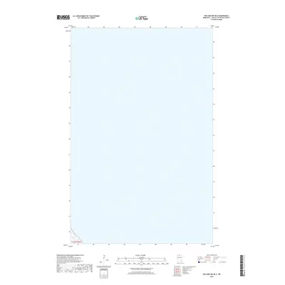
2019 Map of Williams NW OE E
USGS Topo · Published 2019About this map
Lake of the Woods County is defined by its vast water expanses and the intricate boundaries of the Public Land Survey System. This northern Minnesota area, characterized by the waters of Lake of the Woods, is geodetically structured by the T162n R33w township and range lines. The map focuses on the open water and shoreline dynamics of this border region, illustrating the primary hydrographic data compiled by the National Hydrography Dataset. While largely devoid of land-based structures or settlements, the sheet provides a precise look at the township grid used by surveyors to partition this aquatic landscape near the Canadian border.
Find a feature on this map
1 named feature on this map. Tap any name to fly to it.
Don’t see what you’re looking for? This feature index may not catch every label — zoom into the map to look around manually.
Map Details
Editions of this 2019 Williams NW OE E Map
This is the sole edition of this map. No revisions or reprints were ever made.
Other maps of this area

1918 · Williams
USGS Topo · 1:62,500

1919 · Canada
USGS Topo · 1:62,500

1954 · Roseau
USGS Topo · 1:250,000

1957 · Roseau
USGS Topo · 1:250,000

1958 · Roseau
USGS Topo · 1:250,000

1963 · Kenora
USGS Topo · 1:250,000

1967 · Williams
USGS Topo · 1:24,000
1967 · Williams NW
USGS Topo · 1:24,000
1967 · Williams SE
USGS Topo · 1:24,000
1967 · Wheelers Point
USGS Topo · 1:24,000