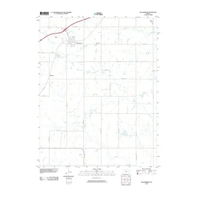
2009 Map of Williamsburg
USGS Topo · Published 2009About this map
Williamsburg serves as the central hub of this prairie landscape, where the local road network radiates outward across the Kansas countryside. The map traces the historical path of Old Hwy 50 and follows numerous watercourses that define the drainage of the area, including Mill Creek, Coal Creek, and East Branch Tequa Creek. To the southwest, the settlement of Silkville stands as a point of local historical interest, connected to the larger township by a grid of named rural routes such as California Rd and Arkansas Rd.
Find a feature on this map
32 named features on this map. Tap any name to fly to it.
Don’t see what you’re looking for? This feature index may not catch every label — zoom into the map to look around manually.
Map Details
Editions of this 2009 Williamsburg Map
This is the sole edition of this map. No revisions or reprints were ever made.
Other maps of this area

1885 · Burlington
USGS Topo · 1:125,000

1885 · Garnett
USGS Topo · 1:125,000

1885 · Lawrence
USGS Topo · 1:125,000

1889 · Burlingame
USGS Topo · 1:125,000

1889 · Lawrence
USGS Topo · 1:125,000

1894 · Garnett
USGS Topo · 1:125,000

1894 · Burlingame
USGS Topo · 1:125,000

1894 · Burlington
USGS Topo · 1:125,000

1947 · Lawrence
USGS Topo · 1:250,000

1950 · Lawrence
USGS Topo · 1:250,000