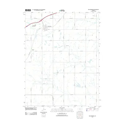
2012 Map of Williamsburg
USGS Topo · Published 2012About this map
The town of Williamsburg serves as the focal point of this Eastern Kansas landscape, positioned where several historic drainage systems converge. The terrain is defined by the branching paths of Mill Cr, Middle Cr, and Iantha Cr, which dictate the local topography and the placement of the rural road network. Significant genealogy sites are recorded here, including Mount Hope Cem just south of town and Mid Creek Cem to the northeast, providing valuable reference points for local family history researchers.
Find a feature on this map
47 named features on this map. Tap any name to fly to it.
Don’t see what you’re looking for? This feature index may not catch every label — zoom into the map to look around manually.
Map Details
Editions of this 2012 Williamsburg Map
This is the sole edition of this map. No revisions or reprints were ever made.
Other maps of this area

1885 · Burlington
USGS Topo · 1:125,000

1885 · Garnett
USGS Topo · 1:125,000

1885 · Lawrence
USGS Topo · 1:125,000

1889 · Burlingame
USGS Topo · 1:125,000

1889 · Lawrence
USGS Topo · 1:125,000

1894 · Garnett
USGS Topo · 1:125,000

1894 · Burlingame
USGS Topo · 1:125,000

1894 · Burlington
USGS Topo · 1:125,000

1947 · Lawrence
USGS Topo · 1:250,000

1950 · Lawrence
USGS Topo · 1:250,000