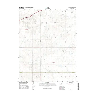
2016 Map of Williamsburg
USGS Topo · Published 2016About this map
Williamsburg serves as the primary hub of this eastern Kansas landscape, situated near the headwaters of several drainage systems. The map illustrates a transition from the structured residential blocks of the town to the sprawling agricultural tracts defined by the Public Land Survey System. To the southwest lies Silkville, a site of notable historical experiments in communal living and industry. The terrain is characterized by the winding paths of Mill Cr and Middle Cr, which carve gentle valleys through the prairie. Genealogists and local historians will find value in the location of Middle Creek Cem in the northeast and Mount Hope Cem near the center of the quadrangle. The presence of the Old Channel Sac Creek indicates a landscape shaped by shifting watercourses, while major thoroughfares like John Brown Rd provide the modern framework for this longstanding rural community near the Franklin and Anderson County line.
Find a feature on this map
28 named features on this map. Tap any name to fly to it.
Don’t see what you’re looking for? This feature index may not catch every label — zoom into the map to look around manually.
Map Details
Editions of this 2016 Williamsburg Map
This is the sole edition of this map. No revisions or reprints were ever made.
Other maps of this area

1885 · Burlington
USGS Topo · 1:125,000

1885 · Garnett
USGS Topo · 1:125,000

1885 · Lawrence
USGS Topo · 1:125,000

1889 · Burlingame
USGS Topo · 1:125,000

1889 · Lawrence
USGS Topo · 1:125,000

1894 · Garnett
USGS Topo · 1:125,000

1894 · Burlingame
USGS Topo · 1:125,000

1894 · Burlington
USGS Topo · 1:125,000

1947 · Lawrence
USGS Topo · 1:250,000

1950 · Lawrence
USGS Topo · 1:250,000