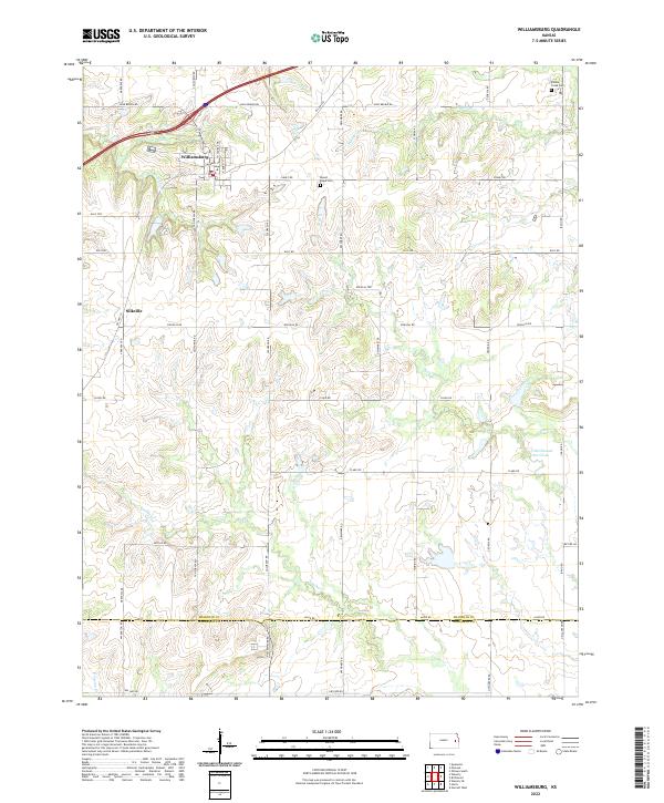
2022 Map of Williamsburg
USGS Topo · Published 2022About this map
Williamsburg serves as the primary hub in this portion of Franklin County, positioned near the confluence of local tributaries like Mill Cr and E Br Tequa Cr. The landscape is defined by a dense network of creek systems, including Middle Cr and Sac Cr, which have historically shaped the agricultural boundaries of the region. A notable geographic feature is the Old Channel Sac Creek, indicating the natural migration or modification of waterways over time.
Find a feature on this map
43 named features on this map. Tap any name to fly to it.
Don’t see what you’re looking for? This feature index may not catch every label — zoom into the map to look around manually.
Map Details
Editions of this 2022 Williamsburg Map
This is the sole edition of this map. No revisions or reprints were ever made.
Other maps of this area

1885 · Burlington
USGS Topo · 1:125,000

1885 · Garnett
USGS Topo · 1:125,000

1885 · Lawrence
USGS Topo · 1:125,000

1889 · Burlingame
USGS Topo · 1:125,000

1889 · Lawrence
USGS Topo · 1:125,000

1894 · Garnett
USGS Topo · 1:125,000

1894 · Burlingame
USGS Topo · 1:125,000

1894 · Burlington
USGS Topo · 1:125,000

1947 · Lawrence
USGS Topo · 1:250,000

1950 · Lawrence
USGS Topo · 1:250,000