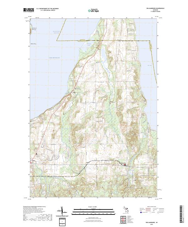
2023 Map of Williamsburg
USGS Topo · Published 2023About this map
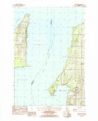
Lake Michigan and the East Arm Grand Traverse Bay dominate the western landscape of this coastal quadrangle, where the Old Mission Peninsula and Willow Point stretch into the water. The region is defined by its numerous small waterways and marshlands, including Petobego Pond and Tobeco Creek, which flow toward the bay. Settlement patterns are concentrated around several distinct inland hubs such as Williamsburg, Bates, and Yuba. Local history is anchored by several burial grounds, including the Yuba Acme Township Cem and Circle Hill Cem, reflecting the area's rural genealogy. The map details the transition from the bay's shoreline to the inland terrain, marked by Bissell Pond and Elk Lake on the eastern edge. A dense network of local roads like Angell Rd and Yuba Rd connect these agricultural and residential pockets across the Antrim Co and Grand Traverse Co line.
Find a feature on this map
80 named features on this map. Tap any name to fly to it.
Don’t see what you’re looking for? This feature index may not catch every label — zoom into the map to look around manually.
Map Details
Editions of this 2023 Williamsburg Map
This is the sole edition of this map. No revisions or reprints were ever made.
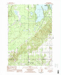
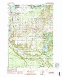
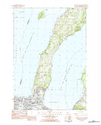
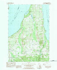
Historical Maps of Antrim County Through Time
16 maps found
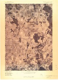
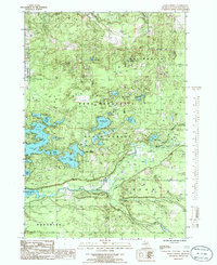
1976 Thompsonville NE
Grand Traverse County, MI
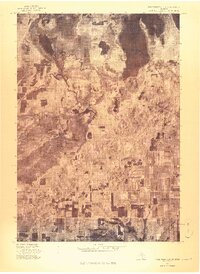
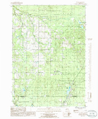
1976 Thompsonville SE
Grand Traverse County, MI
1983 Karlin
Grand Traverse County, MI
1983 Mapleton
Grand Traverse County, MI
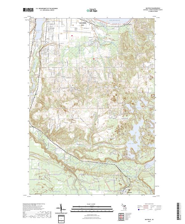
1983 Mayfield
Grand Traverse County, MI
1983 Traverse City SE
Grand Traverse County, MI
1983 Williamsburg
Grand Traverse County, MI
1985 Jacks Landing
Grand Traverse County, MI
1985 Walton
Grand Traverse County, MI
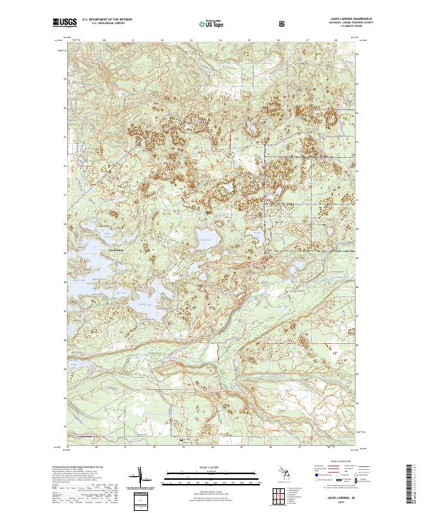
2023 Jacks Landing
Grand Traverse County, MI
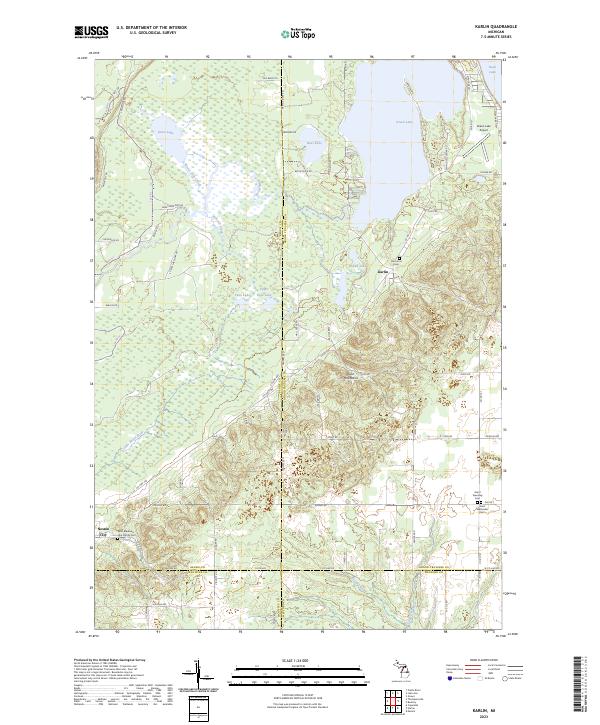
2023 Karlin
Grand Traverse County, MI
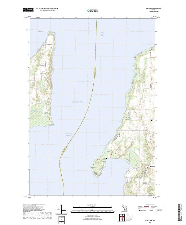
2023 Mapleton
Grand Traverse County, MI
2023 Mayfield
Grand Traverse County, MI
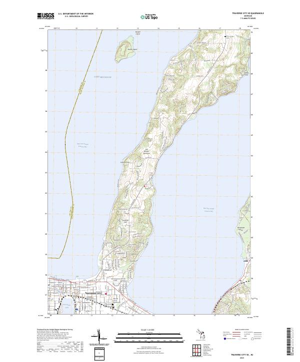
2023 Traverse City SE
Grand Traverse County, MI
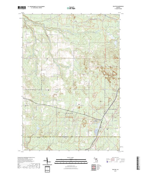
2023 Walton
Grand Traverse County, MI
2023 Williamsburg
Grand Traverse County, MI
Featured Locations
- Elk Rapids Township, MI
- Milton Township, MI
- Acme Township, MI
- Peninsula Township, MI
- Whitewater Township, MI