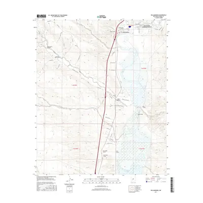
2017 Map of Williamsburg
USGS Topo · Published 2017About this map
Truth Or Consequences and its neighbor Williamsburg occupy the upper reaches of this Sierra County landscape, where the modern settlement footprint meets the high desert terrain. The area is defined by its relationship with the Rio Grande, which flows south into the upper margins of the Caballo Reservoir. To the west, the topography is carved by numerous drainages, including Mud Springs Canyon and the winding course of Cañon de Molino Viejo.
Find a feature on this map
63 named features on this map. Tap any name to fly to it.
Don’t see what you’re looking for? This feature index may not catch every label — zoom into the map to look around manually.
Map Details
Editions of this 2017 Williamsburg Map
This is the sole edition of this map. No revisions or reprints were ever made.
Other maps of this area

1954 · Tularosa
USGS Topo · 1:250,000

1955 · Las Cruces
USGS Topo · 1:250,000

1958 · Las Cruces
USGS Topo · 1:250,000

1958 · Tularosa
USGS Topo · 1:250,000

1958 · Elephant Butte
USGS Topo · 1:24,000

1959 · Engle
USGS Topo · 1:62,500

1959 · Upham
USGS Topo · 1:62,500

1961 · Skute Stone Arroyo
USGS Topo · 1:24,000

1961 · Saladone Tank
USGS Topo · 1:24,000

1961 · Caballo
USGS Topo · 1:24,000