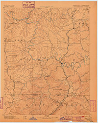
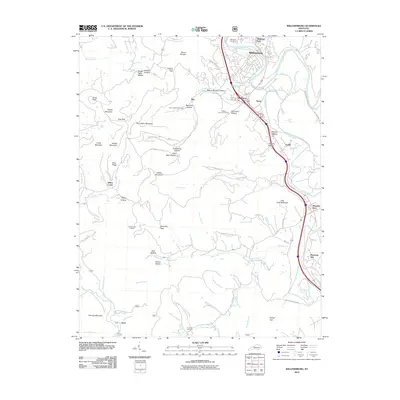
1890 Map of Williamsburg
USGS Topo · Published 1899About this map
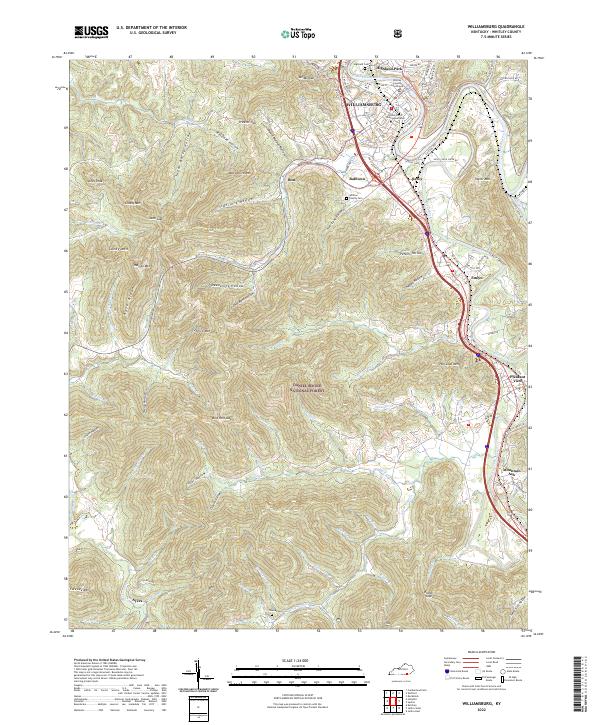
Williamsburg serves as the focal point for this late 19th-century survey of the Cumberland Plateau, where the winding Cumberland River carves through a landscape of deep creek valleys and steep ridges. The era's burgeoning coal industry is evident at Beaver Mines, Barren Fork Coal Mine, and the Kensee Coal Mine near the Tennessee border. Transportation networks define the settlement patterns of the day, with the Louisville and Nashville RR and the Cincinnati Southern RR providing vital links through the mountain terrain. Local commerce and rural life are anchored by landmarks like Bartons Mill and Steels Mill. Along the river, the notable Cumberland Falls and the resort at Rockcastle Springs highlight the region's early importance for both industry and travelers. The map also records several dual-named settlements such as Whitley (Coolidge) and Chitwood (Winfield), reflecting the evolving identities of these Appalachian communities.
Find a feature on this map
111 named features on this map. Tap any name to fly to it.
Don’t see what you’re looking for? This feature index may not catch every label — zoom into the map to look around manually.
Map Details
Editions of this 1890 Williamsburg Map
2 editions found

Historical Maps of Corbin Through Time
9 maps found
1890 Williamsburg
Whitley County, KY
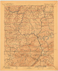
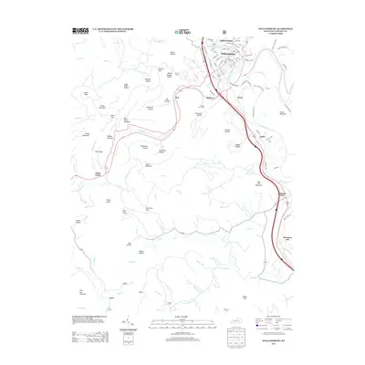
1894 Williamsburg
Whitley County, KY
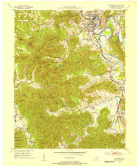
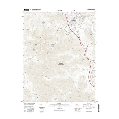
1952 Williamsburg
Whitley County, KY
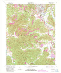
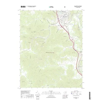
1969 Williamsburg
Whitley County, KY
2010 Williamsburg
Whitley County, KY
2013 Williamsburg
Whitley County, KY
2016 Williamsburg
Whitley County, KY
2019 Williamsburg
Whitley County, KY
2022 Williamsburg
Whitley County, KY