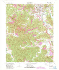
1969 Map of Williamsburg
USGS Topo · Published 1983About this map
Williamsburg serves as the focal point of this Kentucky landscape, situated along a sharp bend of the Cumberland River. The town's proximity to the river and the Seaboard System railroad tracks reflects a traditional Appalachian hub of transportation and regional commerce. Beyond the valley floor, the terrain rises into the steep ridges of Bon Jellico Mountain and Jellico Mountain, where the boundaries of the Daniel Boone National Forest encompass numerous hollows and gaps such as Prewitt Gap and Jane Gap.
Find a feature on this map
52 named features on this map. Tap any name to fly to it.
Don’t see what you’re looking for? This feature index may not catch every label — zoom into the map to look around manually.
Map Details
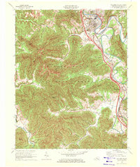
Editions of this 1969 Williamsburg Map
2 editions found
Other maps of this area

1890 · Williamsburg
USGS Topo · 1:125,000

1894 · Williamsburg
USGS Topo · 1:125,000

1952 · Wofford
USGS Topo · 1:24,000

1952 · Saxton
USGS Topo · 1:24,000

1952 · Hollyhill
USGS Topo · 1:24,000

1952 · Rockholds
USGS Topo · 1:24,000

1952 · Cumberland Falls
USGS Topo · 1:24,000

1952 · Williamsburg
USGS Topo · 1:24,000
1953 · Jellico West
USGS Topo · 1:24,000
1953 · Jellico East
USGS Topo · 1:24,000