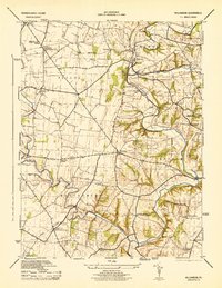
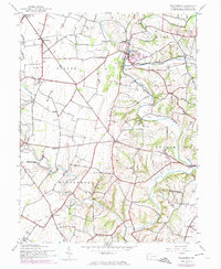
1944 Map of Williamson
USGS Topo · Published 1944About this map
The Conococheague Creek winds through the rural heart of Franklin County, defining a landscape of agricultural valleys and scattered settlements during the mid-1940s. The region is marked by a dense network of local education, featuring numerous named country schoolhouses such as the Lemaster Consolidated School, California School, and Rising Sun School. Near the community of Welsh Run, the Welsh Run Academy stands as a notable landmark of local history.
Find a feature on this map
34 named features on this map. Tap any name to fly to it.
Don’t see what you’re looking for? This feature index may not catch every label — zoom into the map to look around manually.
Map Details
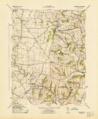
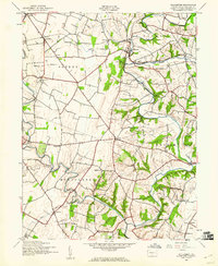
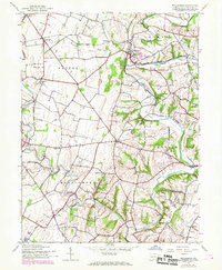
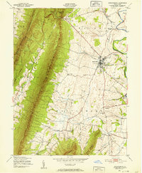
Editions of this 1944 Williamson Map
5 editions found
Other maps of this area

1900 · Mercersburg
USGS Topo · 1:62,500

1902 · Chambersburg
USGS Topo · 1:62,500

1902 · Mercersburg
USGS Topo · 1:62,500

1909 · Hagerstown
USGS Topo · 1:48,000

1912 · Hagerstown
USGS Topo · 1:62,500

1912 · Williamsport
USGS Topo · 1:62,500

1942 · Hagerstown
USGS Topo · 1:125,000

1943 · Hagerstown
USGS Topo · 1:125,000
1943 · Mercersburg
USGS Topo · 1:24,000

1943 · Chambersburg
USGS Topo · 1:62,500
Featured Places
- Hamilton Township, PA
- Antrim Township, PA
- Williamson, St. Thomas Township
- Vanilla, Montgomery Township
- Rockdale, Peters Township