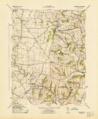
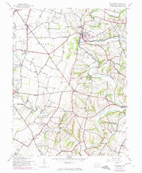
1944 Map of Williamson
USGS Topo · Published 1944About this map
The winding loops of Conococheague Creek define the geography of south-central Franklin County in the mid-1940s. This survey captures a rural landscape transitioning between traditional agrarian life and the expanding infrastructure of the mid-century, with the Pennsylvania railroad corridor connecting the village of Williamson to the larger region. Educational landmarks are notably dense across the townships of Peters, Montgomery, and Antrim, ranging from the Lemaster Consolidated School to the Welsh Run Academy. Local heritage is anchored by the Enoch Brown Memorial Park and subterranean features like Baker Caverns. The map also preserves the locations of numerous small community centers such as Upton, Markes, and Johnston, alongside specialized sites like the Stone Bridge Ch and the California School.
Find a feature on this map
35 named features on this map. Tap any name to fly to it.
Don’t see what you’re looking for? This feature index may not catch every label — zoom into the map to look around manually.
Map Details
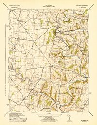
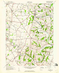
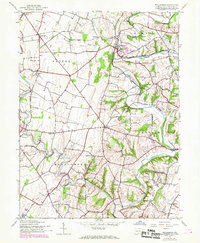
Editions of this 1944 Williamson Map
5 editions found
Other maps of this area

1900 · Mercersburg
USGS Topo · 1:62,500

1902 · Chambersburg
USGS Topo · 1:62,500

1902 · Mercersburg
USGS Topo · 1:62,500

1909 · Hagerstown
USGS Topo · 1:48,000

1912 · Hagerstown
USGS Topo · 1:62,500

1912 · Williamsport
USGS Topo · 1:62,500

1942 · Hagerstown
USGS Topo · 1:125,000

1943 · Hagerstown
USGS Topo · 1:125,000

1943 · Mercersburg
USGS Topo · 1:24,000

1943 · Chambersburg
USGS Topo · 1:62,500
Featured Places
- Hamilton Township, PA
- Antrim Township, PA
- Williamson, St. Thomas Township
- Vanilla, Montgomery Township
- Rockdale, Peters Township