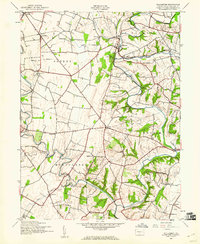
1944 Map of Williamson
USGS Topo · Published 1960About this map
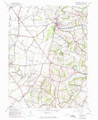
The West Branch Conococheague Creek snakes through the heart of Franklin County, Pennsylvania, in this mid-century portrait of a rural landscape defined by its waterways and small farm settlements. In the townships of Peters, Antrim, and Montgomery, the map reveals a high density of local institutions, including six named schools such as Rising Sun Sch and Paradise Sch. The winding course of the creek is joined by Back Creek and Licking Creek, creating a complex drainage pattern that influenced the locations of villages like Williamson and Lemasters.
Find a feature on this map
29 named features on this map. Tap any name to fly to it.
Don’t see what you’re looking for? This feature index may not catch every label — zoom into the map to look around manually.
Map Details
Editions of this 1944 Williamson Map
5 editions found
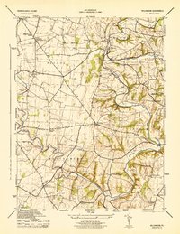
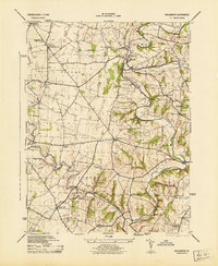
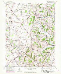
Other maps of this area

1900 · Mercersburg
USGS Topo · 1:62,500

1902 · Chambersburg
USGS Topo · 1:62,500

1902 · Mercersburg
USGS Topo · 1:62,500

1909 · Hagerstown
USGS Topo · 1:48,000

1912 · Hagerstown
USGS Topo · 1:62,500

1912 · Williamsport
USGS Topo · 1:62,500

1942 · Hagerstown
USGS Topo · 1:125,000

1943 · Hagerstown
USGS Topo · 1:125,000

1943 · Mercersburg
USGS Topo · 1:24,000

1943 · Chambersburg
USGS Topo · 1:62,500
Featured Places
- Hamilton Township, PA
- Antrim Township, PA
- Williamson, St. Thomas Township
- Vanilla, Montgomery Township
- Rockdale, Peters Township