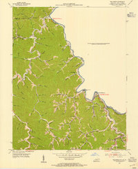
1954 Map of Williamson
USGS Topo · Published 1955About this map
The Tug Fork carves a winding boundary between Kentucky and West Virginia, defining the economic and social landscape of this coal-country corridor in the mid-1950s. Communities like South Williamson and Belfry serve as focal points for the region, where the Norfolk and Western railroad snakes along the riverbank to support local industry. The map reveals a dense network of mountain hollows, such as Negro Hol and Indian Grave Hol, which are interspersed with numerous small family cemeteries and rural schoolhouses including Turkey Creek Sch and Road Fork Sch.
Find a feature on this map
94 named features on this map. Tap any name to fly to it.
Don’t see what you’re looking for? This feature index may not catch every label — zoom into the map to look around manually.
Map Details
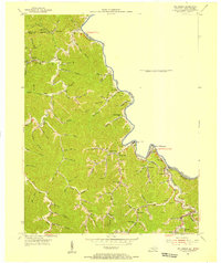
Editions of this 1954 Williamson Map
2 editions found
Other maps of this area

1887 · Warfield
USGS Topo · 1:125,000

1891 · Warfield
USGS Topo · 1:125,000

1909 · Matewan
USGS Topo · 1:48,000

1910 · Holden
USGS Topo · 1:48,000

1910 · Naugatuck
USGS Topo · 1:48,000

1912 · Naugatuck
USGS Topo · 1:62,500

1912 · Holden
USGS Topo · 1:62,500

1915 · Williamson
USGS Topo · 1:48,000

1915 · Naugatuck
USGS Topo · 1:48,000

1915 · Matewan
USGS Topo · 1:48,000