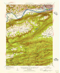
1953 Map of Williamsport
USGS Topo · Published 1956About this map
The West Branch Susquehanna River dominates the northern half of this mid-century landscape, threading through a complex corridor of industry and transport. Williamsport and South Williamsport serve as the regional anchors, while smaller communities like Newberry and Duboistown line the riverbanks. The valley floor reveals the legacy of 19th-century infrastructure with a clearly marked abandoned canal and the active Pennsylvania railroad line serving Linden Sta and Jersey Shore Sta.
Find a feature on this map
124 named features on this map. Tap any name to fly to it.
Don’t see what you’re looking for? This feature index may not catch every label — zoom into the map to look around manually.
Map Details
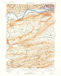
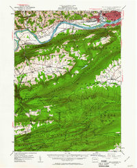
Editions of this 1953 Williamsport Map
3 editions found
Other maps of this area

1893 · Sunbury
USGS Topo · 1:62,500

1921 · Williamsport
USGS Topo · 1:48,000

1921 · Trout Run
USGS Topo · 1:62,500

1921 · Lock Haven
USGS Topo · 1:62,500

1923 · Lock Haven
USGS Topo · 1:62,500

1923 · Trout Run
USGS Topo · 1:62,500

1923 · Williamsport
USGS Topo · 1:62,500

1924 · Milton
USGS Topo · 1:62,500

1930 · Warrensville
USGS Topo · 1:62,500

1934 · Warrensville
USGS Topo · 1:62,500
Featured Places
- Williamsport, PA
- White Deer Township, PA
- Garden View, Old Lycoming Township
- Duboistown, PA
- Bastress Township, PA