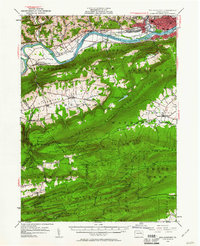
1953 Map of Williamsport
USGS Topo · Published 1961About this map
The West Branch Susquehanna River cuts a prominent path through this mid-century landscape, separating the urban development of Williamsport from the ridge-and-valley terrain to the south. In the north, the industrial and residential grid of Newberry and Duboistown contrasts with the agricultural pocket of Nippenose Valley, where settlements like Bastress and Oriole are situated. The map reveals a complex infrastructure of the early 1950s, including the New York Central and Pennsylvania railroads and an abandoned canal reflecting older transport corridors. Highland lookouts such as the East Point Fire Tower and the Rauchtown Fire Tower watch over the dense forests of Nittany Mountain and Washington township. Local history markers like the Captain Green Monument and rural landmarks like Martins School offer specific points of interest for genealogical and regional study.
Find a feature on this map
102 named features on this map. Tap any name to fly to it.
Don’t see what you’re looking for? This feature index may not catch every label — zoom into the map to look around manually.
Map Details
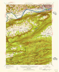
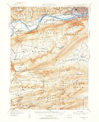
Editions of this 1953 Williamsport Map
3 editions found
Other maps of this area

1893 · Sunbury
USGS Topo · 1:62,500

1921 · Williamsport
USGS Topo · 1:48,000

1921 · Trout Run
USGS Topo · 1:62,500

1921 · Lock Haven
USGS Topo · 1:62,500

1923 · Lock Haven
USGS Topo · 1:62,500

1923 · Trout Run
USGS Topo · 1:62,500

1923 · Williamsport
USGS Topo · 1:62,500

1924 · Milton
USGS Topo · 1:62,500

1930 · Warrensville
USGS Topo · 1:62,500

1934 · Warrensville
USGS Topo · 1:62,500
Featured Places
- Williamsport, PA
- White Deer Township, PA
- Garden View, Old Lycoming Township
- Duboistown, PA
- Bastress Township, PA