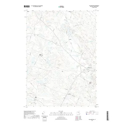
2019 Map of Williamstown
USGS Topo · Published 2019About this map
Williamstown serves as a central hub in this Oswego County landscape, where the headwaters of the W Br Fish Cr and numerous glacial ponds define the terrain. The map documents a cluster of small settlements including Kasoag, Happy Valley, and West Amboy, each maintaining its own distinct character through local landmarks like the West Amboy Cem and Butler Cem. To the north, the area around Altmar and Ricard is marked by a complex network of water bodies such as Sisley Ponds and Black Pond, reflecting the region's wetland ecology.
Find a feature on this map
86 named features on this map. Tap any name to fly to it.
Don’t see what you’re looking for? This feature index may not catch every label — zoom into the map to look around manually.
Map Details
Editions of this 2019 Williamstown Map
This is the sole edition of this map. No revisions or reprints were ever made.
Other maps of this area

1895 · Pulaski
USGS Topo · 1:62,500

1903 · Orwell
USGS Topo · 1:62,500

1905 · Orwell
USGS Topo · 1:62,500

1905 · Mexico
USGS Topo · 1:62,500

1906 · Kasoag
USGS Topo · 1:62,500

1942 · Redfield
USGS Topo · 1:24,000

1943 · Redfield
USGS Topo · 1:31,680

1943 · Westdale
USGS Topo · 1:31,680

1943 · Camden West
USGS Topo · 1:31,680

1943 · Richland
USGS Topo · 1:31,680