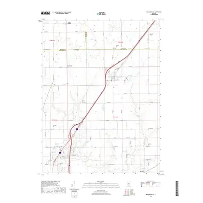
2018 Map of Williamsville
USGS Topo · Published 2018About this map
Williamsville and Sherman serve as the primary hubs in this central Illinois landscape, where the intersection of major transit corridors and agricultural land defines the region's character. The map illustrates a dense network of country roads, such as Fancy Prairie Rd and Constant Rd, connecting smaller communities like Fancy Prairie, Van Wood, and Ellis. The topography is subtly marked by the drainage of Wolf Cr and Little Wolf Cr, which meander through the southern and eastern portions of the quadrangle.
Find a feature on this map
113 named features on this map. Tap any name to fly to it.
Don’t see what you’re looking for? This feature index may not catch every label — zoom into the map to look around manually.
Map Details
Editions of this 2018 Williamsville Map
This is the sole edition of this map. No revisions or reprints were ever made.
Other maps of this area

1907 · Springfield
USGS Topo · 1:62,500

1911 · Lincoln
USGS Topo · 1:62,500

1913 · Lincoln
USGS Topo · 1:62,500

1930 · Springfield
USGS Topo · 1:62,500

1940 · Springfield
USGS Topo · 1:62,500

1948 · Mason City
USGS Topo · 1:62,500

1949 · Mason City
USGS Topo · 1:62,500

1950 · Springfield West
USGS Topo · 1:24,000

1950 · Springfield East
USGS Topo · 1:24,000

1954 · Mechanicsburg
USGS Topo · 1:62,500