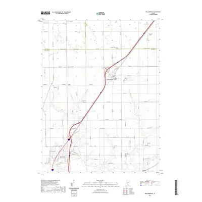
2021 Map of Williamsville
USGS Topo · Published 2021About this map
The agricultural plains of northern Sangamon County are centered here at Williamsville, where modern transportation corridors intersect a landscape still defined by its nineteenth-century burial grounds. Multiple family and community cemeteries, including Stewart Cem, Kern Cem, and Bice Cem, are scattered across the quadrangle, serving as vital landmarks for genealogical research in this part of Illinois. The drainage patterns of Wolf Cr and Fancy Cr provide the primary relief to the terrain, shaping the location of early settlements like Fancy Prairie and Barclay.
Find a feature on this map
112 named features on this map. Tap any name to fly to it.
Don’t see what you’re looking for? This feature index may not catch every label — zoom into the map to look around manually.
Map Details
Editions of this 2021 Williamsville Map
This is the sole edition of this map. No revisions or reprints were ever made.
Other maps of this area

1907 · Springfield
USGS Topo · 1:62,500

1911 · Lincoln
USGS Topo · 1:62,500

1913 · Lincoln
USGS Topo · 1:62,500

1930 · Springfield
USGS Topo · 1:62,500

1940 · Springfield
USGS Topo · 1:62,500

1948 · Mason City
USGS Topo · 1:62,500

1949 · Mason City
USGS Topo · 1:62,500

1950 · Springfield West
USGS Topo · 1:24,000

1950 · Springfield East
USGS Topo · 1:24,000

1954 · Mechanicsburg
USGS Topo · 1:62,500