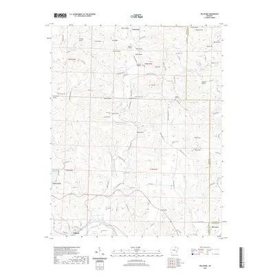
2020 Map of Williford
USGS Topo · Published 2020About this map
The Spring River winds through the southwestern corner of this survey, serving as a focal point for the settlement of Williford. This area, situated at the junction of Sharp, Randolph, and Lawrence counties, is defined by a dense network of hollows and ridges that dictated early transport and homesteading. The map reveals a deeply rooted rural community, marked by numerous family and church burial grounds including Bradford Cemetery, Crawford Cem, and Ratliff Cem.
Find a feature on this map
111 named features on this map. Tap any name to fly to it.
Don’t see what you’re looking for? This feature index may not catch every label — zoom into the map to look around manually.
Map Details
Editions of this 2020 Williford Map
This is the sole edition of this map. No revisions or reprints were ever made.
Other maps of this area

1934 · Powhatan
USGS Topo · 1:62,500

1935 · Powhatan
USGS Topo · 1:62,500

1957 · Poplar Bluff
USGS Topo · 1:250,000

1959 · Poplar Bluff
USGS Topo · 1:250,000

1960 · Poplar Bluff
USGS Topo · 1:250,000

1966 · Ravenden Springs
USGS Topo · 1:24,000
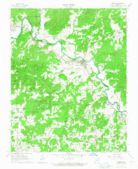
1966 · Imboden
USGS Topo · 1:24,000

1968 · Hardy
USGS Topo · 1:24,000
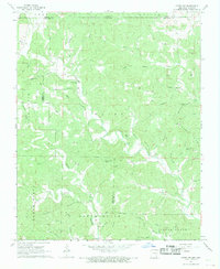
1968 · Hardy NE
USGS Topo · 1:24,000
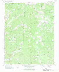
1968 · Wirth
USGS Topo · 1:24,000