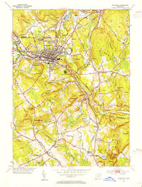
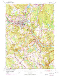
1953 Map of Willimantic
USGS Topo · Published 1954About this map
The confluence of the Nautchaug River and the Willimantic River anchors this 1953 revision, forming the Shetucket River at the heart of an industrial and educational hub. The city of Willimantic dominates the landscape with its dense street grid and the campus of Willimantic State Teachers College. Rail infrastructure is highly prominent, featuring the intersection of the Central Vermont Railway and the New York New Haven and Hartford Railroad, which served the local manufacturing and agricultural interests.
Find a feature on this map
90 named features on this map. Tap any name to fly to it.
Don’t see what you’re looking for? This feature index may not catch every label — zoom into the map to look around manually.
Map Details
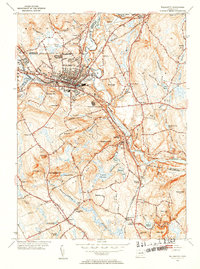
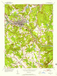
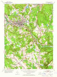
Editions of this 1953 Willimantic Map
5 editions found
Other maps of this area

1892 · Woodstock
USGS Topo · 1:62,500

1892 · Tolland
USGS Topo · 1:62,500

1892 · Norwich
USGS Topo · 1:62,500

1892 · Gilead
USGS Topo · 1:62,500

1921 · Tolland
USGS Topo · 1:62,500

1921 · Woodstock
USGS Topo · 1:62,500

1943 · Fitchville
USGS Topo · 1:31,680

1944 · South Coventry
USGS Topo · 1:31,680
1944 · Hampton
USGS Topo · 1:31,680

1944 · Columbia
USGS Topo · 1:31,680