Loading...
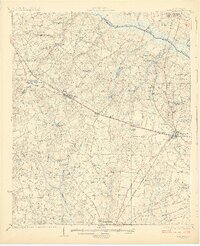
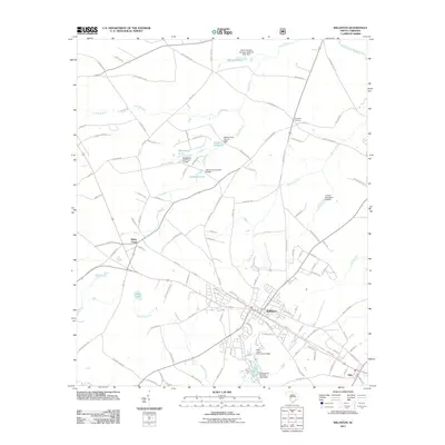
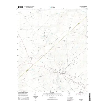
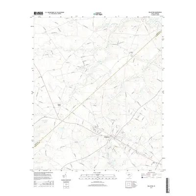
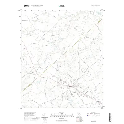
Loading map...1927 Map of Williston
USGS Topo · Published 1927About this map
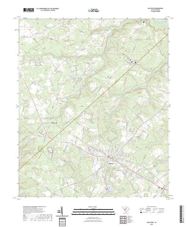
The Southern railroad corridor dictates the settlement pattern of this Barnwell and Aiken County region, connecting the primary hubs of Williston and Blackville. Between these towns, smaller rail-side communities like Elko and Reynolds sit amidst a landscape defined by its milling and mining history. Family-named landmarks such as Boviston Mill, Willis Mill, and Bells Mill are scattered along the tributaries, while industrial sites like White Pit and Ditch Pit reflect the local economy of the 1920s.
Find a feature on this map
61 named features on this map. Tap any name to fly to it.
Don’t see what you’re looking for? This feature index may not catch every label — zoom into the map to look around manually.
Map Details
Date Portrayed1927
Date Published1927
PublisherU.S. Geological Survey
Map TypeTopographic
Scale1:62,500
Physical Dimensions16.46 x 20.21 inches
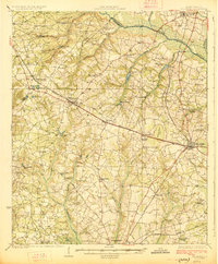
Editions of this 1927 Williston Map
2 editions found
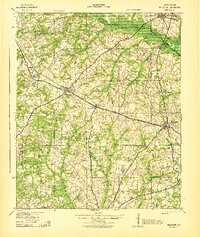
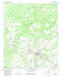
Historical Maps of Barnwell Through Time
9 maps found

Featured Locations
Source Details
SourceU.S. Geological Survey
CopyrightPublic Domain