
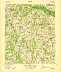
1943 Map of Williston
USGS Topo · Published 1943About this map
The South Fork Edisto River forms a significant natural boundary across this portion of South Carolina, where the lines of Aiken, Orangeburg, and Barnwell counties meet. During the early 1940s, the area's social and economic life revolved around established towns like Williston and Blackville, supported by a dense network of country schools and churches such as Blessed Home Sch and Silver Spring Ch. The landscape is defined by the transition from river bottomlands to rural homesteads, connected by the Southern Railway and a system of mills, including Bonnett Mill and Willis Mill, which processed the agricultural output of the surrounding farms. Local genealogy interest is found in the many family-named landmarks like Peters Sch and Foster Branch Ch, alongside natural features like the dry Peters Pond and the flowing Healing Springs Creek.
Find a feature on this map
62 named features on this map. Tap any name to fly to it.
Don’t see what you’re looking for? This feature index may not catch every label — zoom into the map to look around manually.
Map Details
Editions of this 1943 Williston Map
2 editions found
Other maps of this area

1919 · Olar
USGS Topo · 1:62,500

1919 · Bamberg
USGS Topo · 1:48,000

1919 · Allendale
USGS Topo · 1:62,500

1920 · Ellenton
USGS Topo · 1:48,000

1920 · Bamberg
USGS Topo · 1:62,500

1920 · Aiken
USGS Topo · 1:48,000

1920 · Talatha
USGS Topo · 1:48,000

1921 · Aiken
USGS Topo · 1:62,500

1921 · Talatha
USGS Topo · 1:62,500

1921 · Ellenton
USGS Topo · 1:62,500