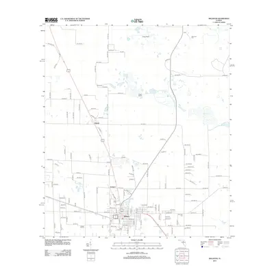
2012 Map of Williston
USGS Topo · Published 2012About this map
Williston serves as the central hub of this north-central Florida landscape, where the convergence of several major routes anchors a network of smaller communities and rural homesteads. The town's grid is punctuated by local heritage sites such as the Willis Family Cem and the Po located near the town center. To the north, the terrain transitions into a mosaic of wetlands and grasslands, most notably the wide expanses of Horse Prairie and Priest Prairie.
Find a feature on this map
117 named features on this map. Tap any name to fly to it.
Don’t see what you’re looking for? This feature index may not catch every label — zoom into the map to look around manually.
Map Details
Editions of this 2012 Williston Map
This is the sole edition of this map. No revisions or reprints were ever made.
Other maps of this area

1890 · Arredondo
USGS Topo · 1:62,500

1892 · Arredondo
USGS Topo · 1:62,500

1894 · Arredondo
USGS Topo · 1:62,500

1895 · Williston
USGS Topo · 1:62,500

1954 · Gainesville
USGS Topo · 1:250,000

1955 · Bronson NE
USGS Topo · 1:24,000

1955 · Bronson SE
USGS Topo · 1:24,000
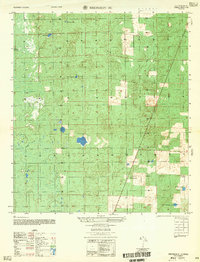
1957 · Bronson SE
USGS Topo · 1:25,000

1958 · Gainesville
USGS Topo · 1:250,000

1959 · Gainesville
USGS Topo · 1:250,000