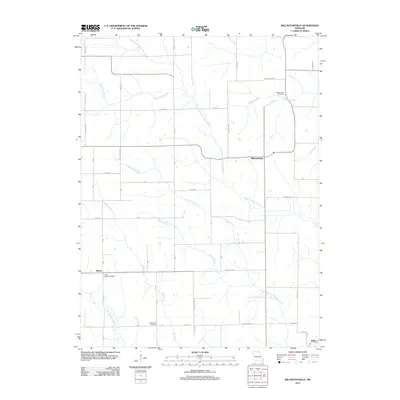
2012 Map of Willmathsville
USGS Topo · Published 2012About this map
Willmathsville anchors a landscape defined by the intricate branching of the Missouri prairie's waterway systems in the early 21st century. The terrain is dominated by the North Fork South Fabius River and the South Fork South Fabius River, which create a complex drainage network including the Cottonwood Fork, Willow Branch, and Bee Branch. This network shaped the historical development of rural Missouri settlements like Sperry and Adair, which are connected by a grid of named local routes such as Mule Train Way and Hazel Green Way.
Find a feature on this map
36 named features on this map. Tap any name to fly to it.
Don’t see what you’re looking for? This feature index may not catch every label — zoom into the map to look around manually.
Map Details
Editions of this 2012 Willmathsville Map
This is the sole edition of this map. No revisions or reprints were ever made.
Other maps of this area

1903 · Edina
USGS Topo · 1:125,000

1911 · Queen City
USGS Topo · 1:62,500

1913 · Queen City
USGS Topo · 1:62,500

1938 · Kirksville
USGS Topo · 1:62,500

1940 · Kirksville
USGS Topo · 1:62,500

1954 · Centerville
USGS Topo · 1:250,000

1957 · Centerville
USGS Topo · 1:250,000

1958 · Centerville
USGS Topo · 1:250,000

1965 · Downing NW
USGS Topo · 1:24,000

1966 · Brashear
USGS Topo · 1:24,000