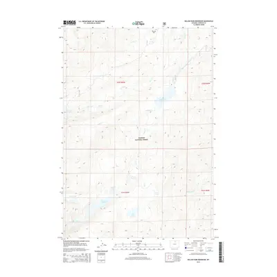
2015 Map of Willow Park Reservoir
USGS Topo · Published 2015About this map
Bighorn National Forest contains a complex network of high-elevation water management systems, as shown in this 2015 survey. The landscape is defined by the high basins that feed Willow Park Reservoir and Cloud Peak Reservoir, which are central to the region's hydraulic infrastructure. Significant engineering is evident in the Rock Cr and Piney Diversion Ditch, which reroutes natural flow across the drainage divides between S Piney Cr and other tributaries. Numerous smaller alpine bodies like Frying Pan Lake, Gem Lake, and the South Piney Lakes surround the larger reservoirs. The presence of Penrose Park and various creeks like Kearny Cr and Penrose Cr illustrate the drainage patterns of this mountain environment before it descends into the lower valleys of Johnson County.
Find a feature on this map
22 named features on this map. Tap any name to fly to it.
Don’t see what you’re looking for? This feature index may not catch every label — zoom into the map to look around manually.
Map Details
Editions of this 2015 Willow Park Reservoir Map
This is the sole edition of this map. No revisions or reprints were ever made.
Other maps of this area

1895 · Dayton
USGS Topo · 1:125,000

1899 · Cloud peak
USGS Topo · 1:125,000

1900 · Fort McKinney
USGS Topo · 1:125,000

1901 · Cloud Peak
USGS Topo · 1:125,000

1901 · Dayton
USGS Topo · 1:125,000

1903 · Fort McKinney
USGS Topo · 1:125,000

1909 · Sheridan
USGS Topo · 1:125,000

1911 · Sheridan
USGS Topo · 1:125,000

1955 · Sheridan
USGS Topo · 1:250,000

1958 · Sheridan
USGS Topo · 1:250,000