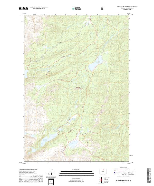
2021 Map of Willow Park Reservoir
USGS Topo · Published 2021About this map
Bighorn National Forest defines the high-altitude landscape of this 2021 survey, where complex water management systems and trail networks dominate the terrain. At the center of the hydrography is Willow Park Reservoir, supported by the engineered Rock Creek and Piney Diversion Ditch which redirects flow across the high country. To the southwest, Cloud Peak Reservoir and Lake Mead sit at the headwaters of the regional drainage system, surrounded by a dense web of pack trails.
Find a feature on this map
31 named features on this map. Tap any name to fly to it.
Don’t see what you’re looking for? This feature index may not catch every label — zoom into the map to look around manually.
Map Details
Editions of this 2021 Willow Park Reservoir Map
This is the sole edition of this map. No revisions or reprints were ever made.
Other maps of this area

1895 · Dayton
USGS Topo · 1:125,000

1899 · Cloud peak
USGS Topo · 1:125,000

1900 · Fort McKinney
USGS Topo · 1:125,000

1901 · Cloud Peak
USGS Topo · 1:125,000

1901 · Dayton
USGS Topo · 1:125,000

1903 · Fort McKinney
USGS Topo · 1:125,000

1909 · Sheridan
USGS Topo · 1:125,000

1911 · Sheridan
USGS Topo · 1:125,000

1955 · Sheridan
USGS Topo · 1:250,000

1958 · Sheridan
USGS Topo · 1:250,000