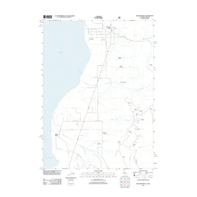
2012 Map of Willow Ranch
USGS Topo · Published 2012About this map
Goose Lake dominates the western edge of this High Desert landscape along the border of Oregon and California. The settlements of New Pine Creek and Fairport sit tucked between the shoreline and the rising mountain slopes to the east, where the terrain is carved by numerous drainages like Cottonwood Cr and Hogback Cr. The map shows a transition from the agricultural flats near the water to the canyons and springs of the uplands, including Davidson Spring and Prat Spring. Local history is anchored by the Willow Ranch settlement and the nearby Willow Ranch Cem, which serve as landmarks for the ranching heritage of the area. Transportation routes like Fandango Pass Rd and S Willow Ranch Rd connect these remote outposts, tracing the paths used by generations of residents to navigate the basin and the surrounding ridges.
Find a feature on this map
38 named features on this map. Tap any name to fly to it.
Don’t see what you’re looking for? This feature index may not catch every label — zoom into the map to look around manually.
Map Details
Editions of this 2012 Willow Ranch Map
This is the sole edition of this map. No revisions or reprints were ever made.
Other maps of this area

1886 · Alturas
USGS Topo · 1:250,000

1892 · Alturas
USGS Topo · 1:250,000

1954 · Alturas
USGS Topo · 1:250,000

1955 · Klamath Falls
USGS Topo · 1:250,000

1958 · Alturas
USGS Topo · 1:250,000

1958 · Klamath Falls
USGS Topo · 1:250,000

1962 · Alturas
USGS Topo · 1:250,000

1962 · Willow Ranch
USGS Topo · 1:62,500

1962 · Fort Bidwell
USGS Topo · 1:62,500

1964 · Lakeview SW
USGS Topo · 1:24,000