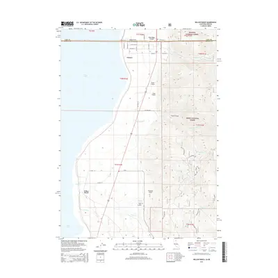
2015 Map of Willow Ranch
USGS Topo · Published 2015About this map
New Pine Creek straddles the border where the Oregon California state line meets the eastern shore of Goose Lake. This 2015 survey details a landscape of transition from the vast alkaline lakebed to the rising peaks of the Fremont National Forest and Modoc National Forest. Settlement is concentrated along the narrow strip of land between the water and the mountains, with the community of Willow Ranch serving as a primary landmark. Local genealogy is anchored at the Willow Ranch Cemetery, situated near Davidson Spring at the base of the foothills. The terrain is defined by deep incisions like Pleasants Canyon and Badger Canyon, which funnel seasonal drainage such as Willow Cr and Lassen Cr toward the lake. Evidence of recreational and forest management is seen in labels like the Buck Creek Overlook and various spur roads throughout the timberlands.
Find a feature on this map
50 named features on this map. Tap any name to fly to it.
Don’t see what you’re looking for? This feature index may not catch every label — zoom into the map to look around manually.
Map Details
Editions of this 2015 Willow Ranch Map
This is the sole edition of this map. No revisions or reprints were ever made.
Other maps of this area

1886 · Alturas
USGS Topo · 1:250,000

1892 · Alturas
USGS Topo · 1:250,000

1954 · Alturas
USGS Topo · 1:250,000

1955 · Klamath Falls
USGS Topo · 1:250,000

1958 · Alturas
USGS Topo · 1:250,000

1958 · Klamath Falls
USGS Topo · 1:250,000

1962 · Alturas
USGS Topo · 1:250,000

1962 · Willow Ranch
USGS Topo · 1:62,500

1962 · Fort Bidwell
USGS Topo · 1:62,500

1964 · Lakeview SW
USGS Topo · 1:24,000