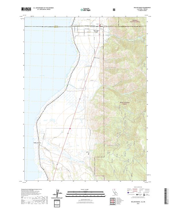
2022 Map of Willow Ranch
USGS Topo · Published 2022About this map
Goose Lake dominates the western half of this landscape, its vast shoreline meeting a complex network of ranching roads and forest boundaries at the California and Oregon state line. The settlement of New Pine Creek straddles this border, while further south, the Willow Ranch community sits near the confluence of Willow Creek and Lassen Creek. This area illustrates the transition from the lake basin into the elevated timberlands of the Modoc National Forest and Fremont National Forest.
Find a feature on this map
51 named features on this map. Tap any name to fly to it.
Don’t see what you’re looking for? This feature index may not catch every label — zoom into the map to look around manually.
Map Details
Editions of this 2022 Willow Ranch Map
This is the sole edition of this map. No revisions or reprints were ever made.
Other maps of this area

1886 · Alturas
USGS Topo · 1:250,000

1892 · Alturas
USGS Topo · 1:250,000

1954 · Alturas
USGS Topo · 1:250,000

1955 · Klamath Falls
USGS Topo · 1:250,000

1958 · Alturas
USGS Topo · 1:250,000

1958 · Klamath Falls
USGS Topo · 1:250,000

1962 · Alturas
USGS Topo · 1:250,000

1962 · Willow Ranch
USGS Topo · 1:62,500

1962 · Fort Bidwell
USGS Topo · 1:62,500

1964 · Lakeview SW
USGS Topo · 1:24,000