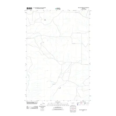
2011 Map of Willow Springs
USGS Topo · Published 2011About this map
Ida Mine and the NE NW Section 15 Mine reveal a landscape shaped by mineral exploration within this Jefferson County quadrangle. The terrain is dominated by the prominence of Big Mountain in the south, while the Boulder River cuts through the western edge of the sheet. This 2011 survey documents a relatively sparse rural network where historic thoroughfares like Old Boulder Rd and Lone Mountain Rd provide the primary access to the backcountry. Local recreation and land use are centered around areas like Cooney Park, situated north of the mountain. The map serves as a contemporary record of the intersection between industrial mining history and the natural geography of the Montana foothills, preserving the exact locations of small-scale mining operations and the winding routes of Willow Springs Rd.
Find a feature on this map
8 named features on this map. Tap any name to fly to it.
Don’t see what you’re looking for? This feature index may not catch every label — zoom into the map to look around manually.
Map Details
Editions of this 2011 Willow Springs Map
This is the sole edition of this map. No revisions or reprints were ever made.
Other maps of this area

1886 · Fort Logan
USGS Topo · 1:250,000

1888 · Three Forks
USGS Topo · 1:250,000

1894 · Three Forks
USGS Topo · 1:250,000

1895 · Three Forks
USGS Topo · 1:250,000

1947 · Bozeman
USGS Topo · 1:250,000

1948 · Bozeman
USGS Topo · 1:250,000

1948 · White Sulphur Springs
USGS Topo · 1:250,000

1949 · Radersburg
USGS Topo · 1:62,500

1950 · Devils Fence
USGS Topo · 1:62,500

1950 · Three Forks
USGS Topo · 1:62,500