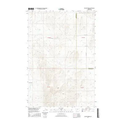
2017 Map of Willow Springs
USGS Topo · Published 2017About this map
Boulder Valley occupies the southwestern corner of this survey, where the Boulder River cuts through the high-elevation terrain of Jefferson County. The landscape is defined by its water sources, including the namesake Willow Springs and Meyer Spring, which likely served as vital points for early cattle ranching and homesteading in this part of Montana. A network of rural routes, such as Willow Springs Rd and Old Boulder Rd, connects the scattered settlements and terrain features across the township and range lines.
Find a feature on this map
17 named features on this map. Tap any name to fly to it.
Don’t see what you’re looking for? This feature index may not catch every label — zoom into the map to look around manually.
Map Details
Editions of this 2017 Willow Springs Map
This is the sole edition of this map. No revisions or reprints were ever made.
Other maps of this area

1886 · Fort Logan
USGS Topo · 1:250,000

1888 · Three Forks
USGS Topo · 1:250,000

1894 · Three Forks
USGS Topo · 1:250,000

1895 · Three Forks
USGS Topo · 1:250,000

1947 · Bozeman
USGS Topo · 1:250,000

1948 · Bozeman
USGS Topo · 1:250,000

1948 · White Sulphur Springs
USGS Topo · 1:250,000

1949 · Radersburg
USGS Topo · 1:62,500

1950 · Devils Fence
USGS Topo · 1:62,500

1950 · Three Forks
USGS Topo · 1:62,500