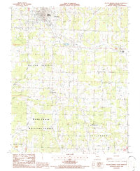
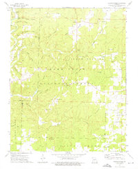
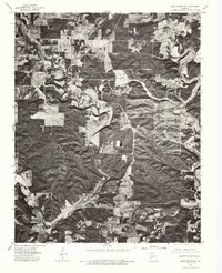
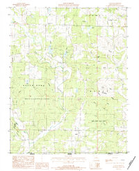
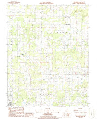
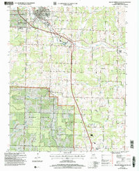
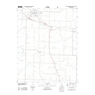
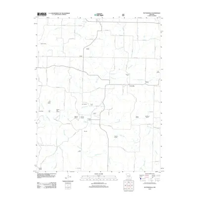
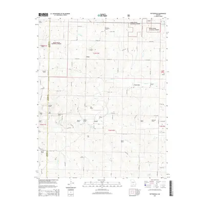
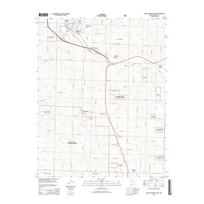
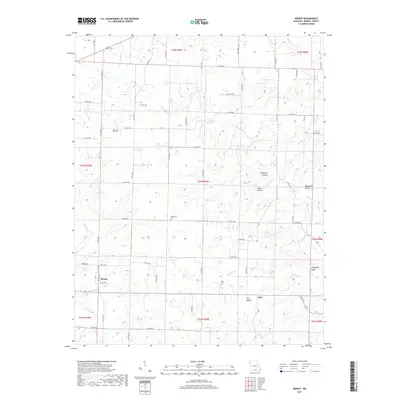
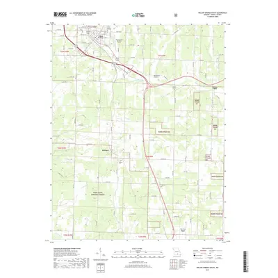
1986 Map of Willow Springs South
USGS Topo · Published 1986About this map
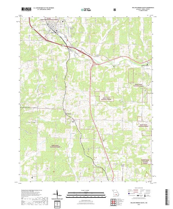
The southern outskirts of Willow Springs anchor this mid-1980s landscape, where the Ozark plateau begins to descend into the rugged timberlands of the Mark Twain National Forest. The transition from the developed town center to the dense woods is marked by mid-century landmarks like the Drive-In Theatre and the Willow Springs Memorial Airport. To the east, the rural community of Hutton Valley sits amidst a network of drainage systems, including the Eleven Point River and the curiously named Lost Camp Creek.
Find a feature on this map
29 named features on this map. Tap any name to fly to it.
Don’t see what you’re looking for? This feature index may not catch every label — zoom into the map to look around manually.
Map Details
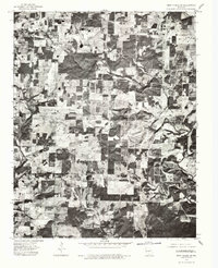
Editions of this 1986 Willow Springs South Map
This is the sole edition of this map. No revisions or reprints were ever made.
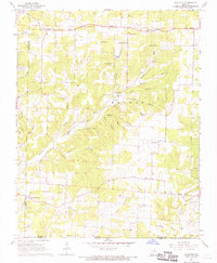
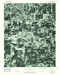
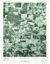
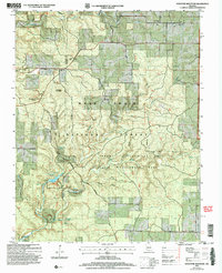
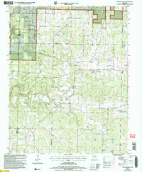
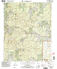
Historical Maps of Willow Springs Through Time
61 maps found
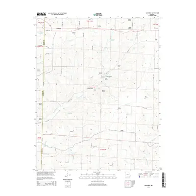
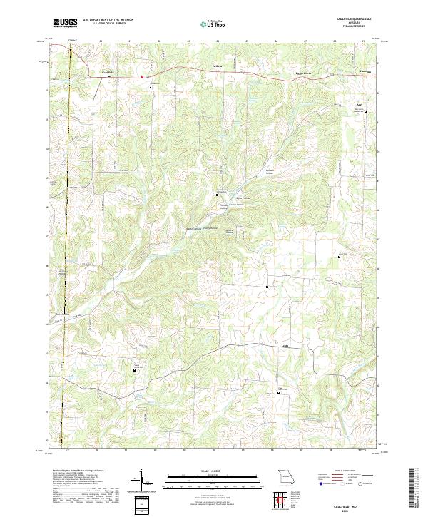
1968 Caulfield
Howell County, MO
1968 Pottersville
Howell County, MO
1973 Dyestone Mountain
Howell County, MO
1973 Siloam Springs
Howell County, MO
1976 Thayer NW
Howell County, MO
1976 Thayer SW
Howell County, MO
1976 West Plains NW
Howell County, MO
1976 West Plains SE
Howell County, MO
1976 West Plains SW
Howell County, MO
1976 Willow Springs NW
Howell County, MO
1976 Willow Springs SW
Howell County, MO
1983 Lanton
Howell County, MO
1983 Moody
Howell County, MO
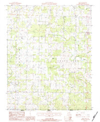
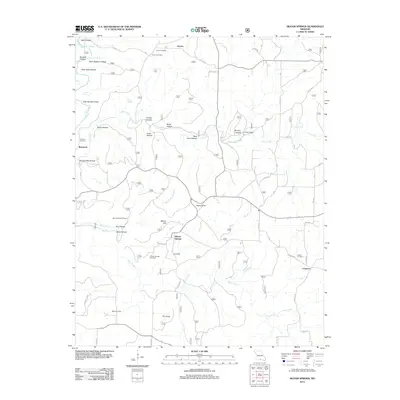
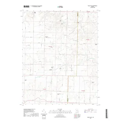
1986 Peace Valley
Howell County, MO
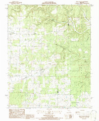
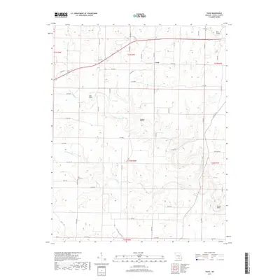
1986 Trask
Howell County, MO
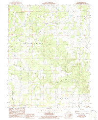
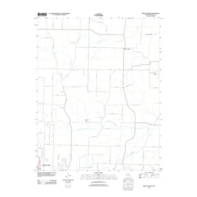
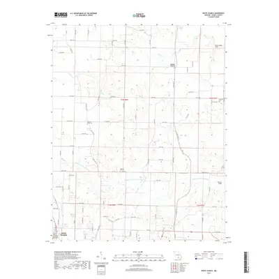
1986 White Church
Howell County, MO
1986 Willow Springs South
Howell County, MO
2004 Dyestone Mountain
Howell County, MO
2004 Pottersville
Howell County, MO
2004 Siloam Springs
Howell County, MO
2004 Willow Springs South
Howell County, MO
2011 Lanton
Howell County, MO
2011 Peace Valley
Howell County, MO
2011 Trask
Howell County, MO
2011 Willow Springs South
Howell County, MO
2012 Caulfield
Howell County, MO
2012 Dyestone Mountain
Howell County, MO
2012 Moody
Howell County, MO
2012 Pottersville
Howell County, MO
2012 Siloam Springs
Howell County, MO
2012 White Church
Howell County, MO
2015 Caulfield
Howell County, MO
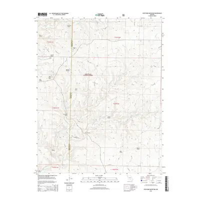
2015 Dyestone Mountain
Howell County, MO
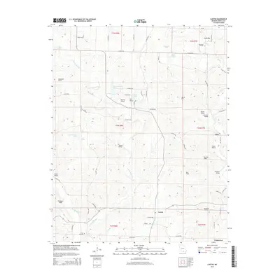
2015 Lanton
Howell County, MO
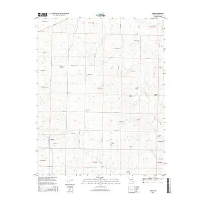
2015 Moody
Howell County, MO
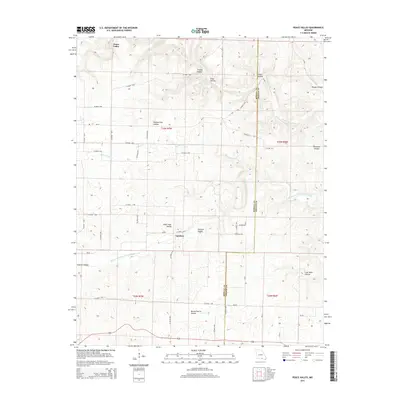
2015 Peace Valley
Howell County, MO
2015 Pottersville
Howell County, MO
2015 Siloam Springs
Howell County, MO
2015 Trask
Howell County, MO
2015 White Church
Howell County, MO
2015 Willow Springs South
Howell County, MO
2017 Caulfield
Howell County, MO
2017 Dyestone Mountain
Howell County, MO
2017 Lanton
Howell County, MO
2017 Moody
Howell County, MO
2017 Peace Valley
Howell County, MO
2017 Pottersville
Howell County, MO
2017 Siloam Springs
Howell County, MO
2017 Trask
Howell County, MO
2017 Willow Springs South
Howell County, MO
2019 White Church
Howell County, MO
2021 Caulfield
Howell County, MO
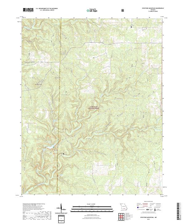
2021 Dyestone Mountain
Howell County, MO
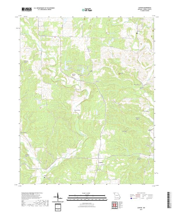
2021 Lanton
Howell County, MO
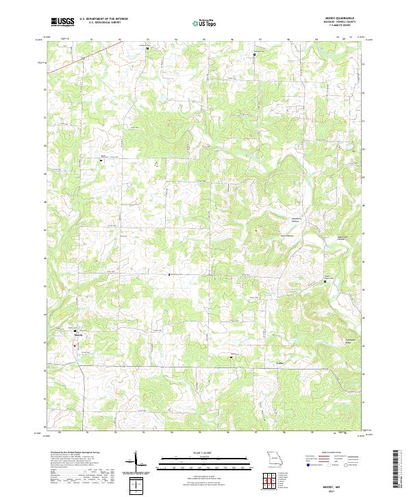
2021 Moody
Howell County, MO
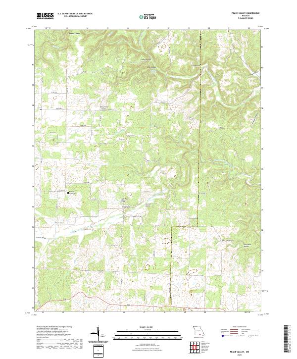
2021 Peace Valley
Howell County, MO
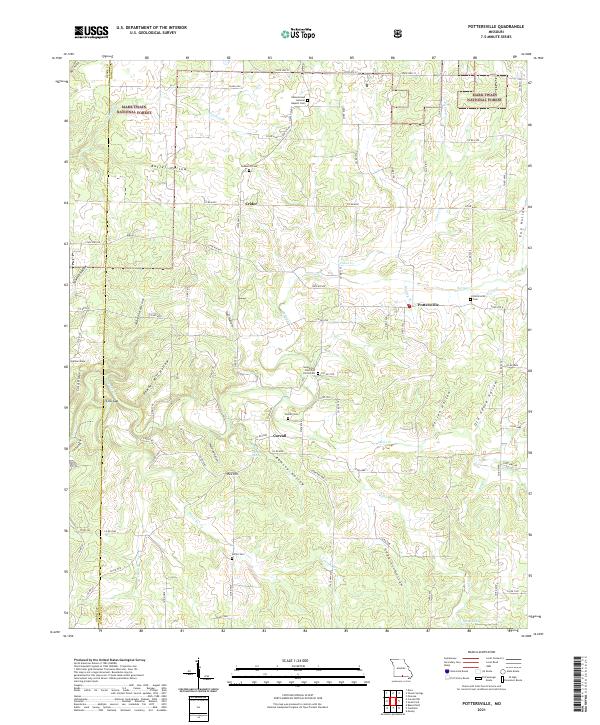
2021 Pottersville
Howell County, MO
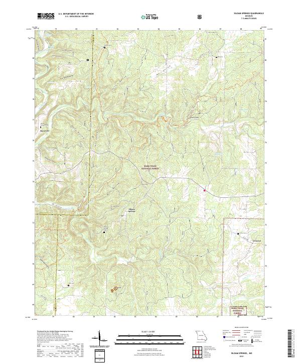
2021 Siloam Springs
Howell County, MO
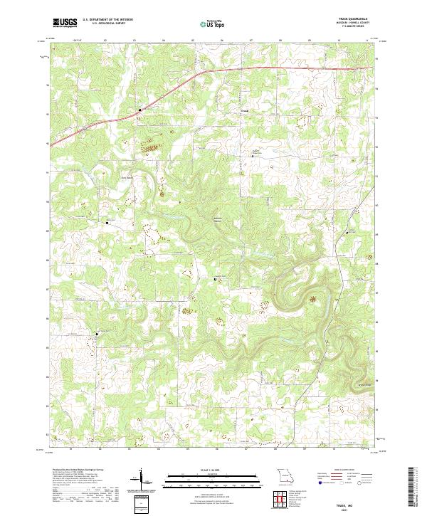
2021 Trask
Howell County, MO
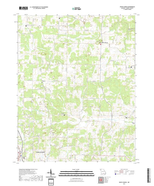
2021 White Church
Howell County, MO
2021 Willow Springs South
Howell County, MO