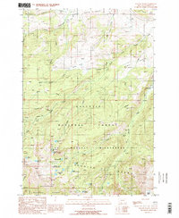
1988 Map of Willow Swamp
USGS Topo · Published 1989About this map
The Spanish Peaks define this high-altitude landscape within the Gallatin National Forest, where a complex network of alpine lakes and glacial features dominates the terrain. This late 1980s survey captures a wilderness area shaped by dramatic topography, including the transition between the Lee Metcalf Wilderness and the Beaverhead National Forest. A lone prospect indicates early mineral interest in these heights, but the primary character of the land is defined by its water system.
Find a feature on this map
38 named features on this map. Tap any name to fly to it.
Don’t see what you’re looking for? This feature index may not catch every label — zoom into the map to look around manually.
Map Details
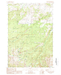
Editions of this 1988 Willow Swamp Map
2 editions found
Other maps of this area

1888 · Three Forks
USGS Topo · 1:250,000

1894 · Three Forks
USGS Topo · 1:250,000

1895 · Three Forks
USGS Topo · 1:250,000

1947 · Bozeman
USGS Topo · 1:250,000

1948 · Bozeman
USGS Topo · 1:250,000

1949 · Anceney
USGS Topo · 1:62,500

1949 · Ennis
USGS Topo · 1:62,500

1949 · Norris
USGS Topo · 1:62,500

1950 · Spanish Peaks
USGS Topo · 1:62,500

1951 · Norris
USGS Topo · 1:62,500