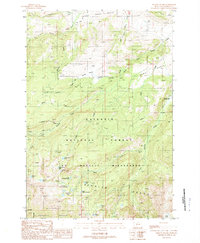
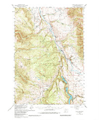
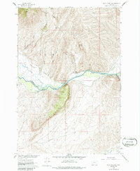
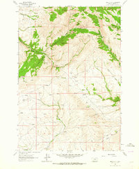
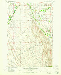
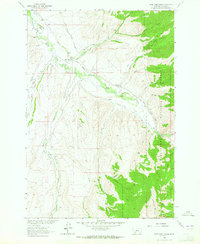
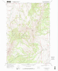
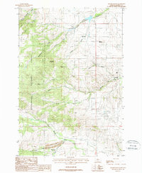
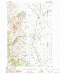
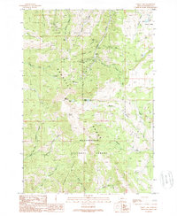
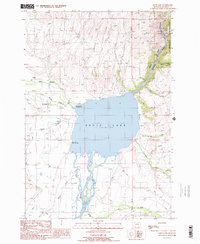
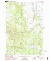
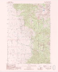
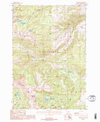
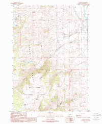
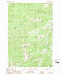
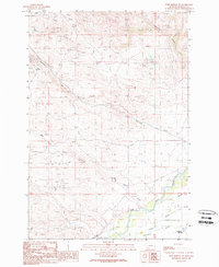
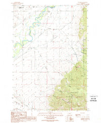
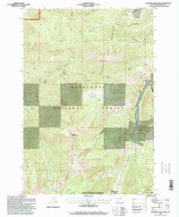
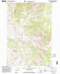
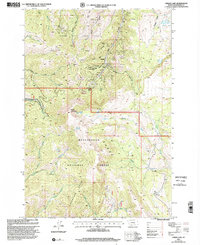
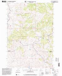
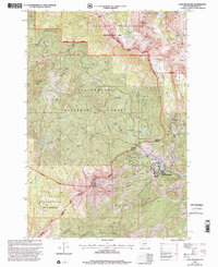
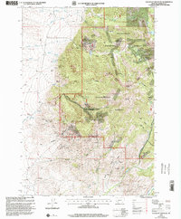
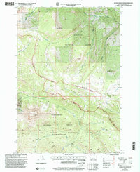
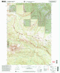
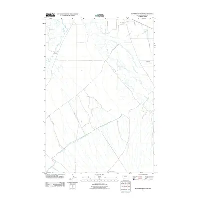
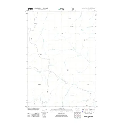
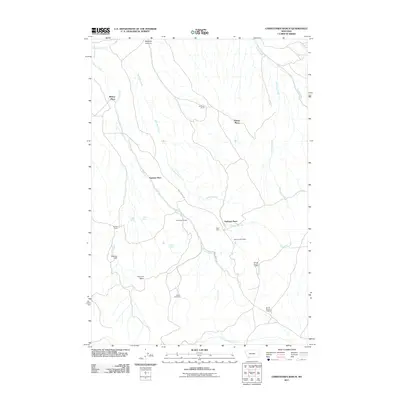
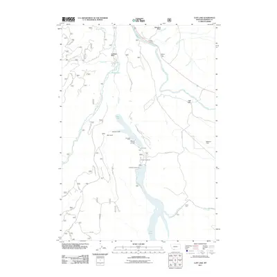
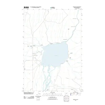
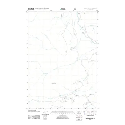
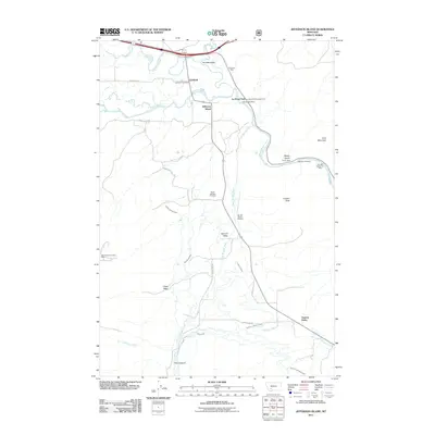
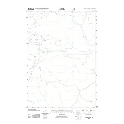
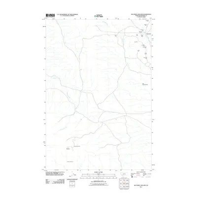
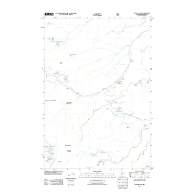
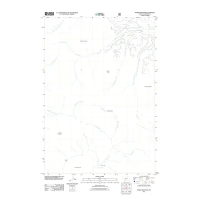
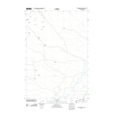
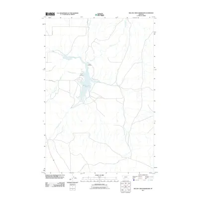
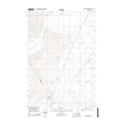
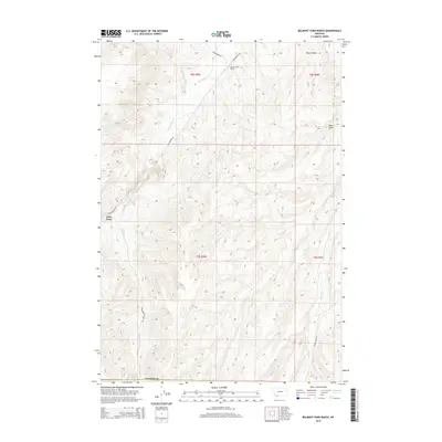
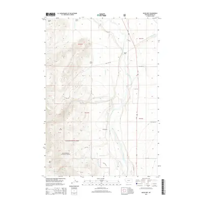
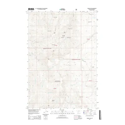
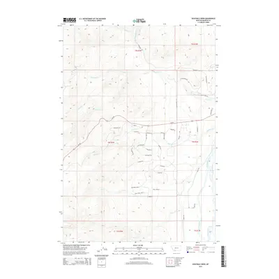
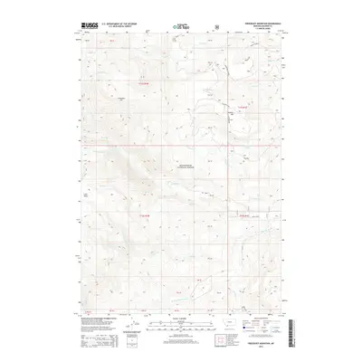
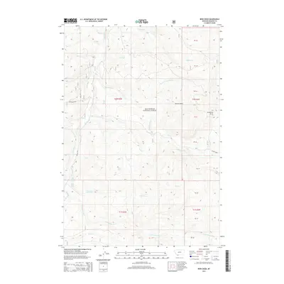
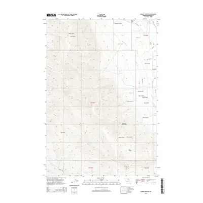
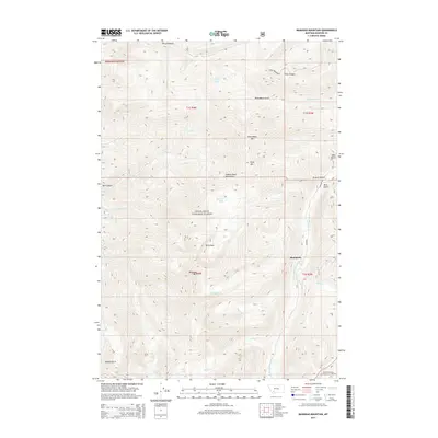
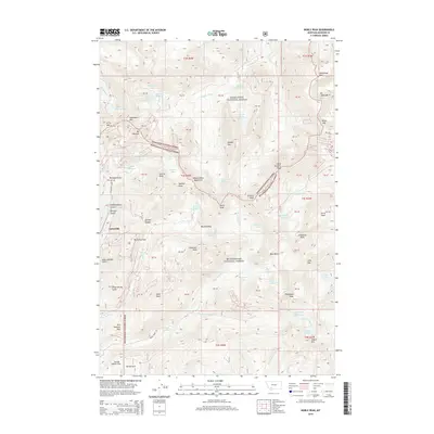
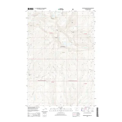
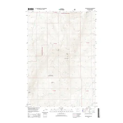
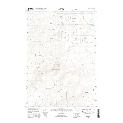
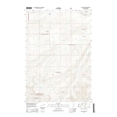
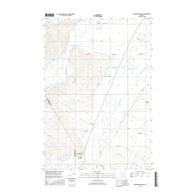
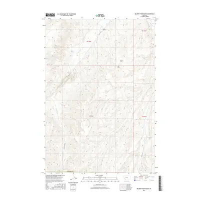
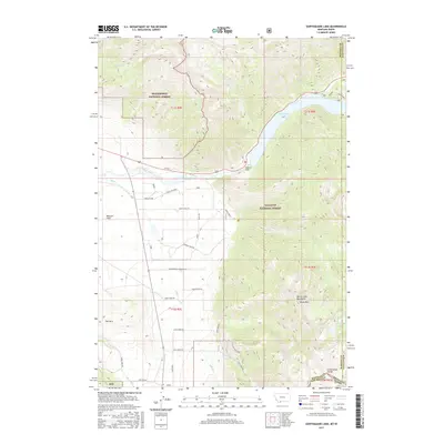
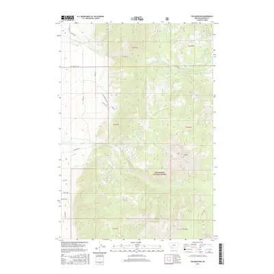
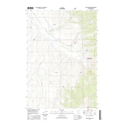
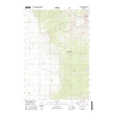
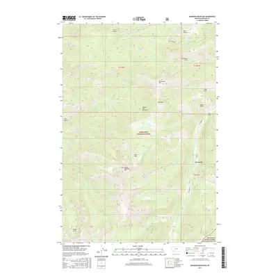
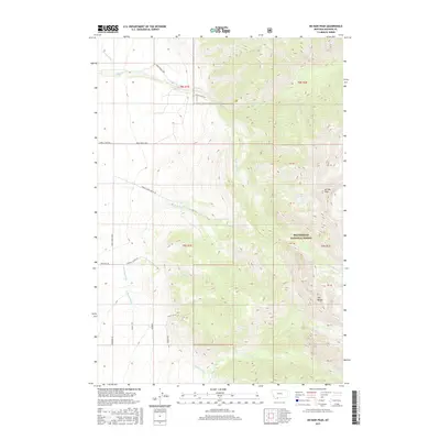
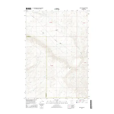
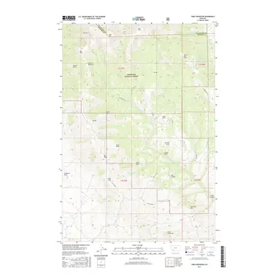
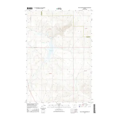
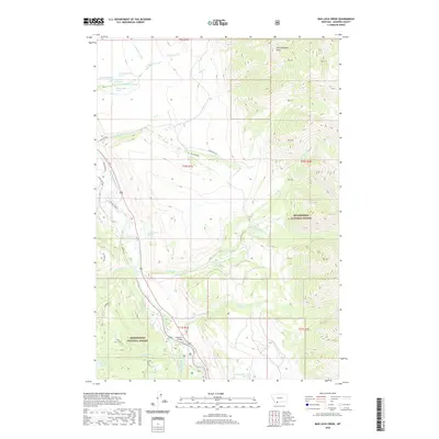
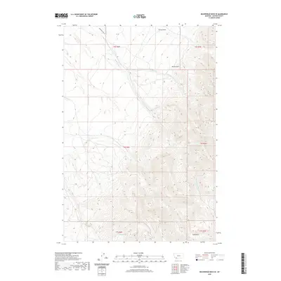
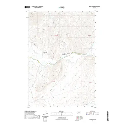
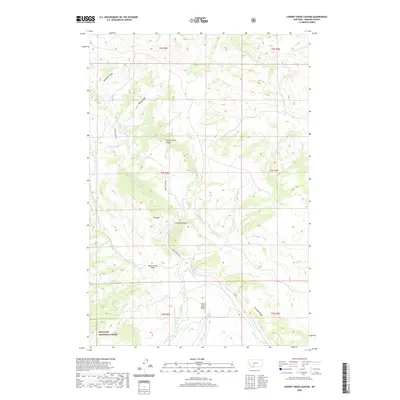
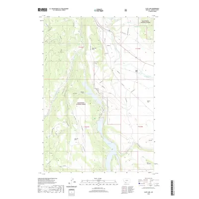
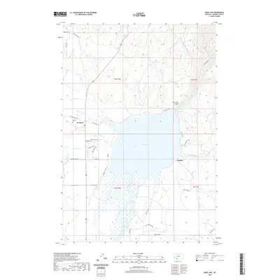
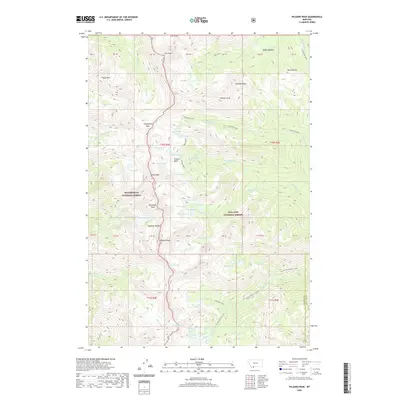
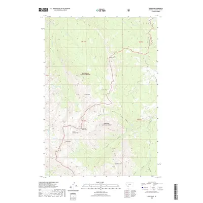
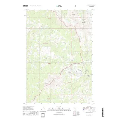
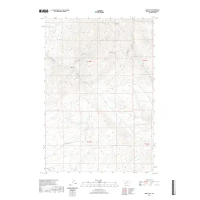
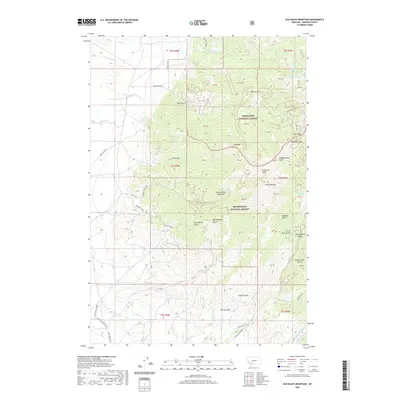
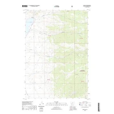
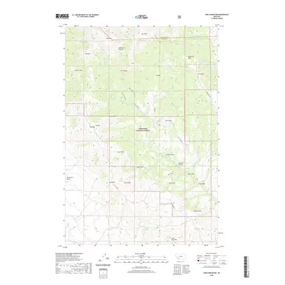
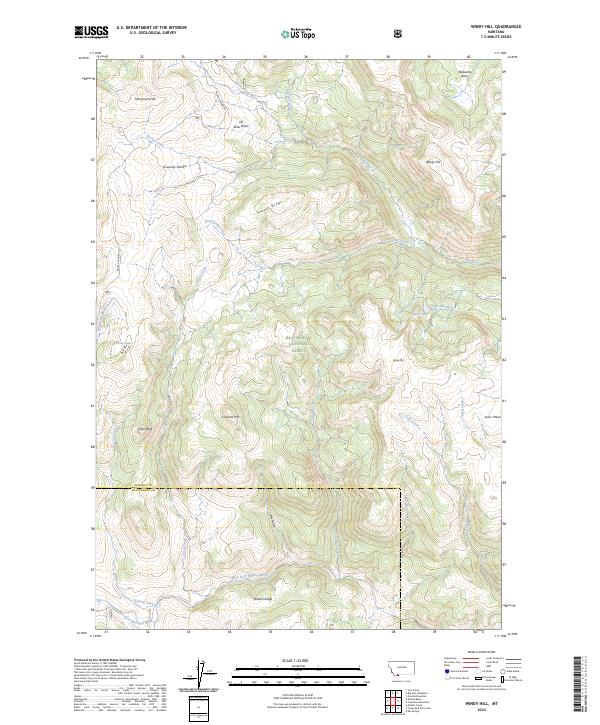
1988 Map of Willow Swamp
USGS Topo · Published 1989About this map
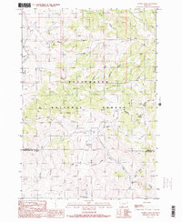
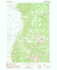
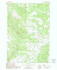
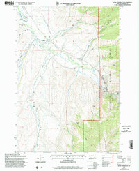
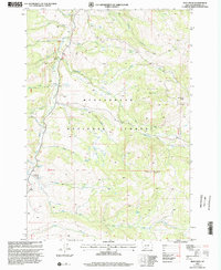
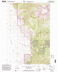
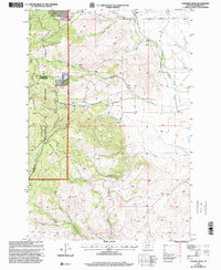
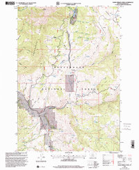
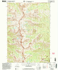
Spanish Peaks dominate this high-altitude landscape in the northern Rockies, where the Lee Metcalf Wilderness protects a network of glacial lakes and steep drainage basins. Surveyed in the late 1980s, the terrain is defined by its water system, ranging from the central Willow Swamp and Willow Swamp Creek to the cascading Pioneer Falls. The map reveals a land utilized for both conservation and early resource exploration, noted by a Prospect site and the Spanish Creek Recreation Site near the border of the Gallatin National Forest.
Find a feature on this map
40 named features on this map. Tap any name to fly to it.
Don’t see what you’re looking for? This feature index may not catch every label — zoom into the map to look around manually.
Map Details
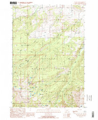
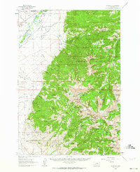
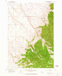
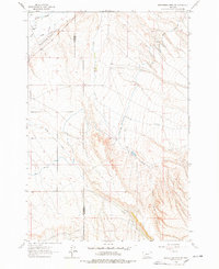
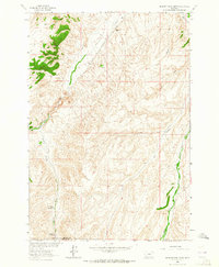
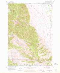
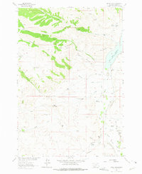
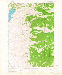
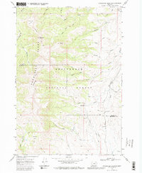
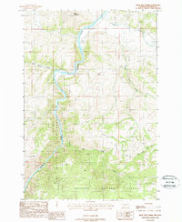
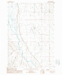
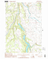
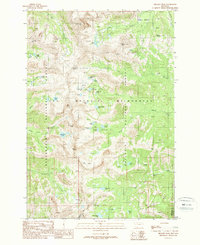
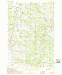
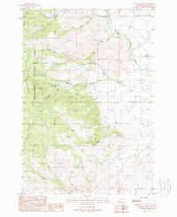
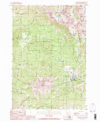
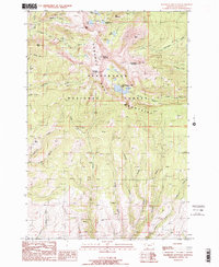
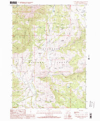
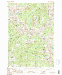
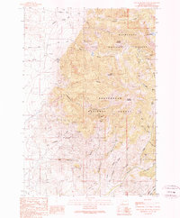
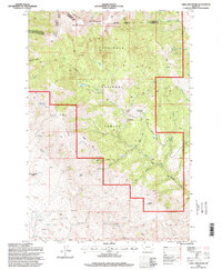
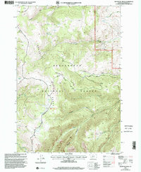
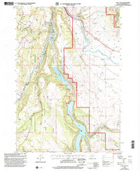
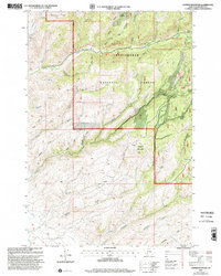
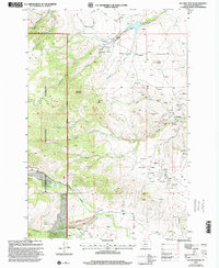
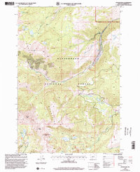
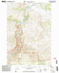
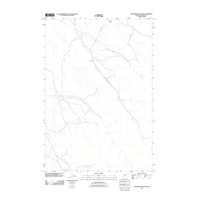
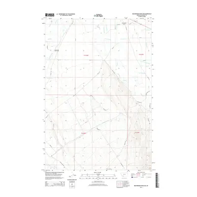
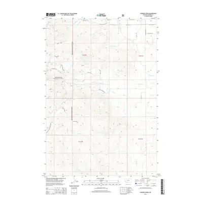
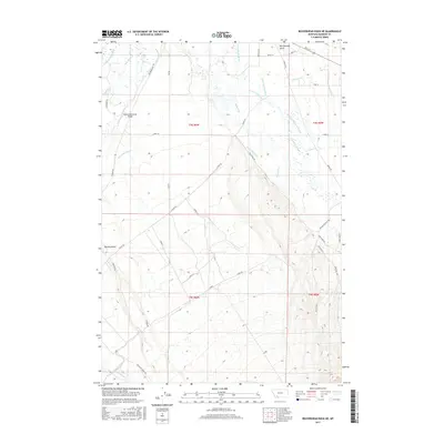
Editions of this 1988 Willow Swamp Map
2 editions found
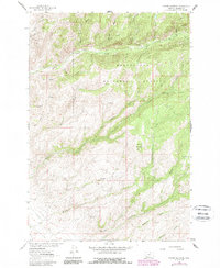
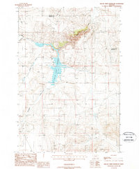
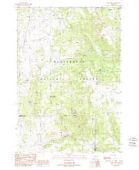
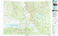
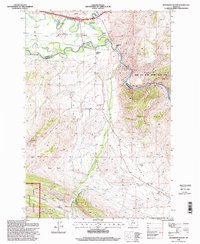
Historical Maps of Madison County Through Time
394 maps found
1949 Varney
Madison County, MT
1950 Cameron
Madison County, MT
1950 Cliff Lake
Madison County, MT
1950 Monument Ridge
Madison County, MT
1950 Spanish Peaks
Madison County, MT
1950 Sphinx Mountain
Madison County, MT
1960 Block Mountain
Madison County, MT
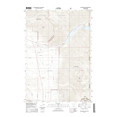
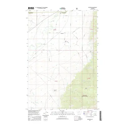
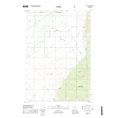
1960 Waterloo
Madison County, MT
1961 Beaverhead Rock SE
Madison County, MT
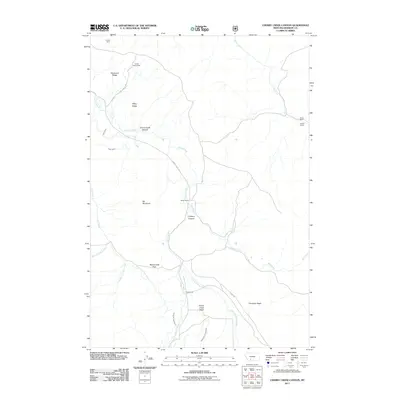
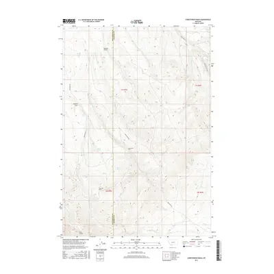
1961 Christensen Ranch
Madison County, MT
1961 Mine Gulch
Madison County, MT
1961 Nez Perce Hollow
Madison County, MT
1961 Red Canyon
Madison County, MT
1962 Beaverhead Rock
Madison County, MT
1962 Beaverhead Rock NE
Madison County, MT
1962 Beaverhead Rock SW
Madison County, MT
1963 Belmont Park Ranch
Madison County, MT
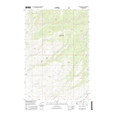
1963 Copper Mountain
Madison County, MT
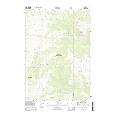
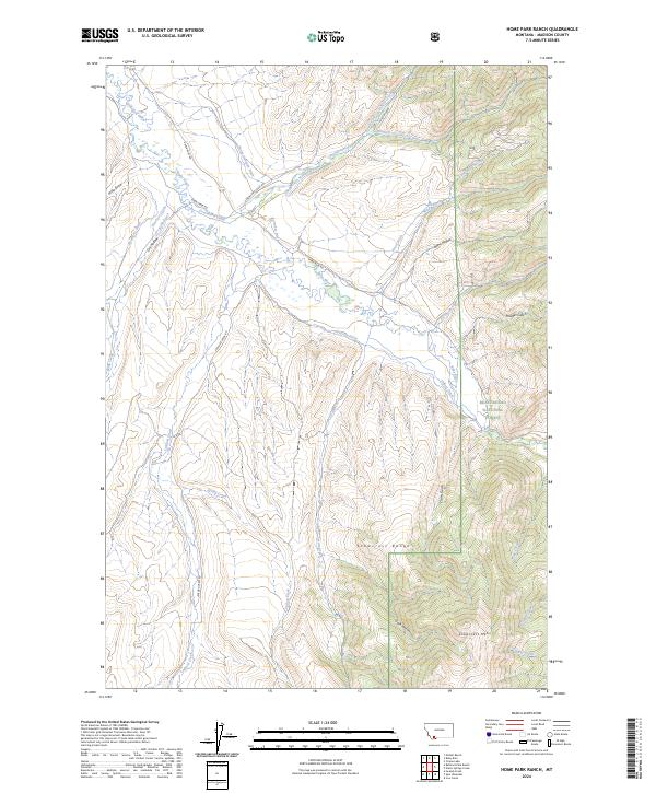
1963 Home Park Ranch
Madison County, MT
1963 Laurin Canyon
Madison County, MT
1963 Metzel Ranch
Madison County, MT
1963 Ruby Dam
Madison County, MT
1968 Spur Mountain
Madison County, MT
1968 Stonehouse Mountain
Madison County, MT
1971 Willow Creek Reservoir
Madison County, MT

1975 Butte South
Madison County, MT
1987 Jefferson Island
Madison County, MT
1987 Maltbys Mound
Madison County, MT
1988 Bear Trap Creek
Madison County, MT
1988 Bighorn Mountain
Madison County, MT
1988 Broomtail Ridge
Madison County, MT
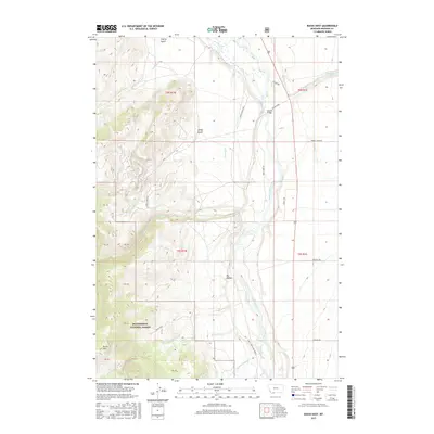
1988 Bucks Nest
Madison County, MT
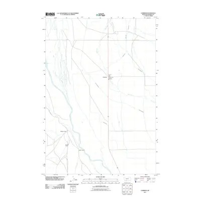
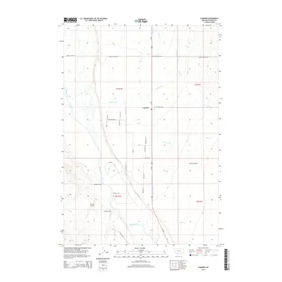
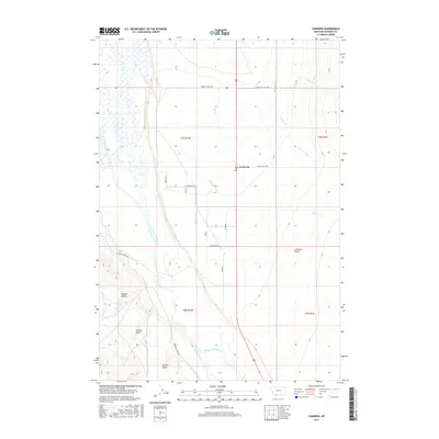
1988 Cameron
Madison County, MT
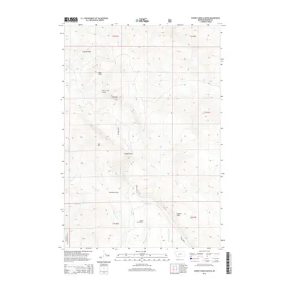
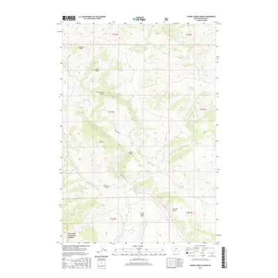
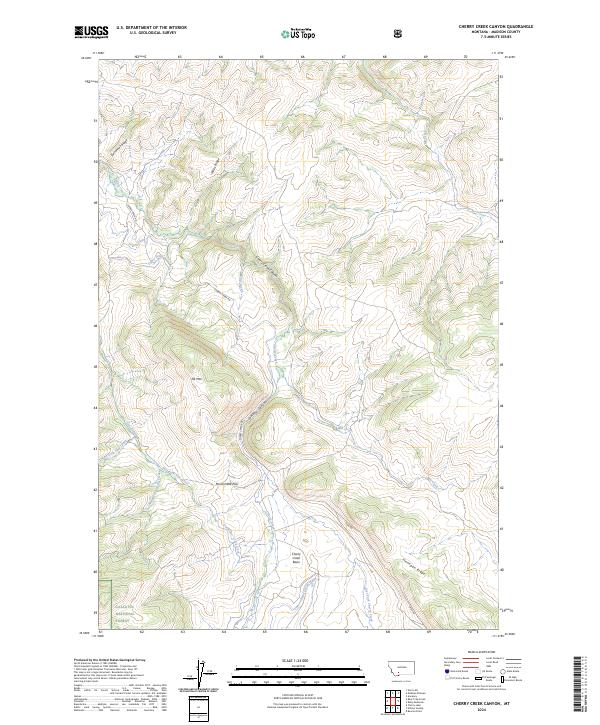
1988 Cherry Creek Canyon
Madison County, MT
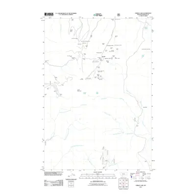
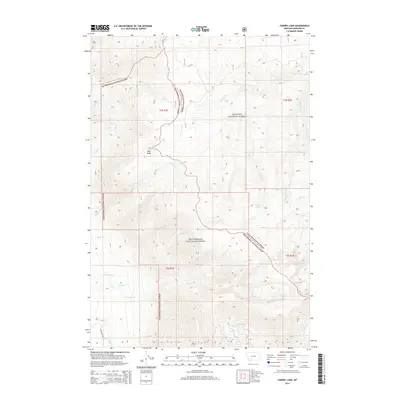
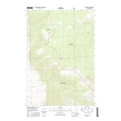
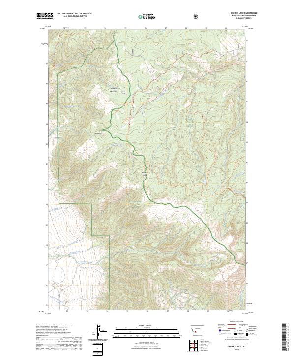
1988 Cherry Lake
Madison County, MT
1988 Cirque Lake
Madison County, MT
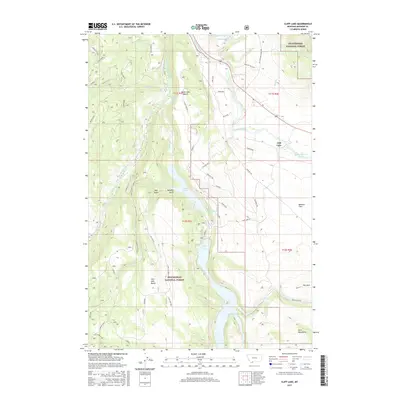
1988 Cliff Lake
Madison County, MT
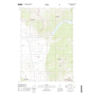
1988 Earthquake Lake
Madison County, MT
1988 Eightmile Creek
Madison County, MT
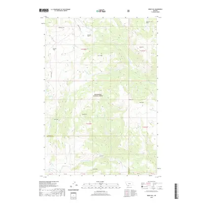
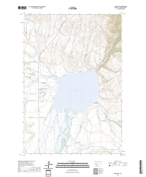
1988 Ennis Lake
Madison County, MT
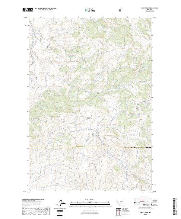
1988 Eureka Basin
Madison County, MT
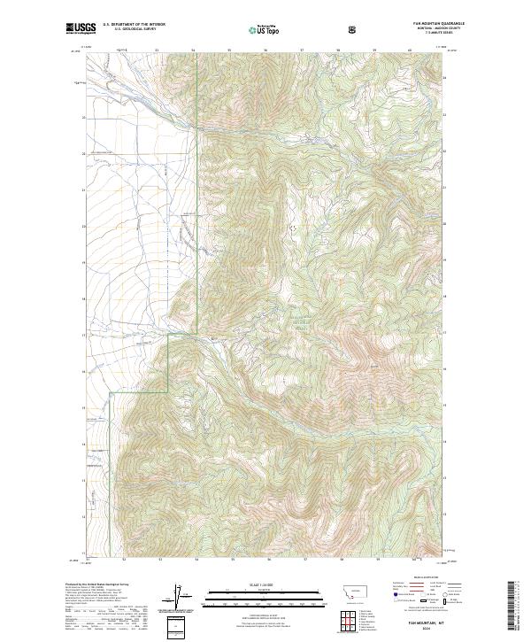
1988 Fan Mountain
Madison County, MT
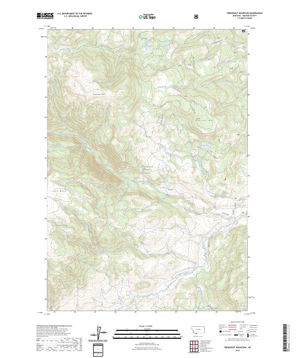
1988 Freezeout Mountain
Madison County, MT
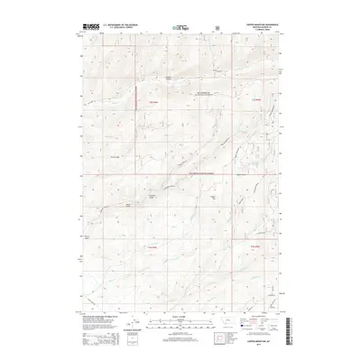
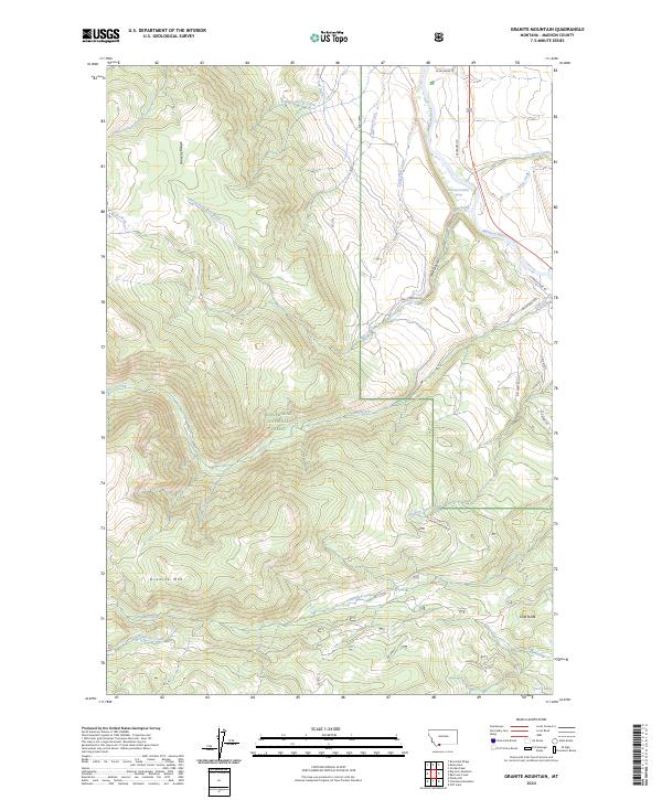
1988 Granite Mountain
Madison County, MT
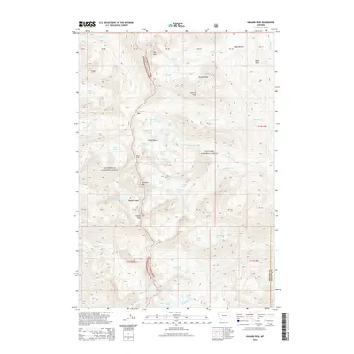
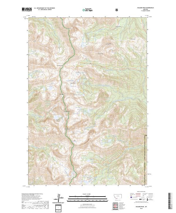
1988 Hilgard Peak
Madison County, MT
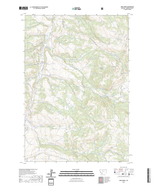
1988 Iron Creek
Madison County, MT
1988 Koch Peak
Madison County, MT
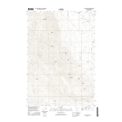
1988 Lake Cameron
Madison County, MT
1988 Leonard Creek
Madison County, MT
1988 Lone Mountain
Madison County, MT
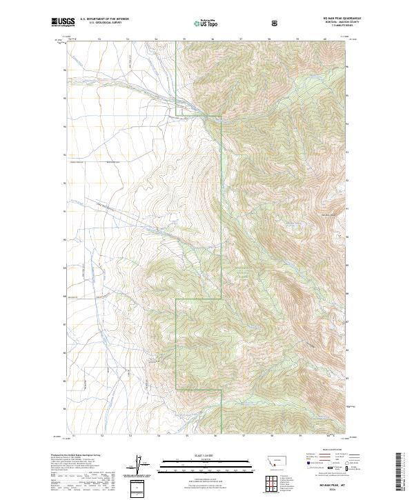
1988 No Man Peak
Madison County, MT
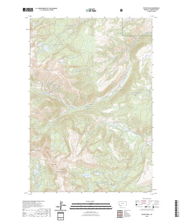
1988 Potosi Peak
Madison County, MT
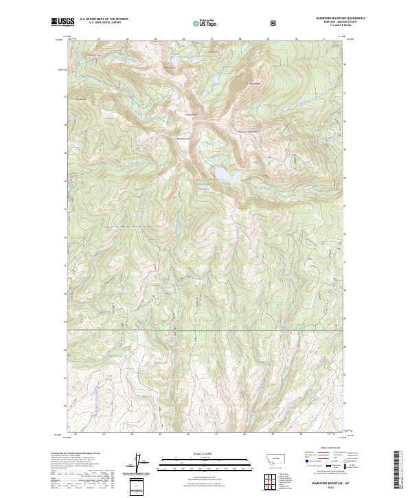
1988 Ramshorn Mountain
Madison County, MT
1988 Sphinx Mountain
Madison County, MT
1988 Squaw Creek
Madison County, MT
1988 Varney
Madison County, MT
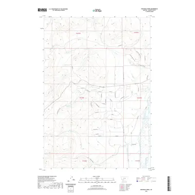
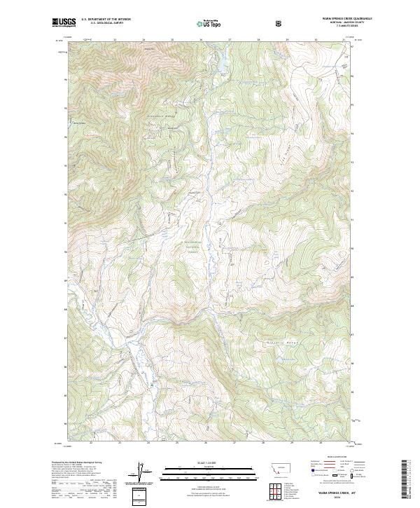
1988 Warm Springs Creek
Madison County, MT
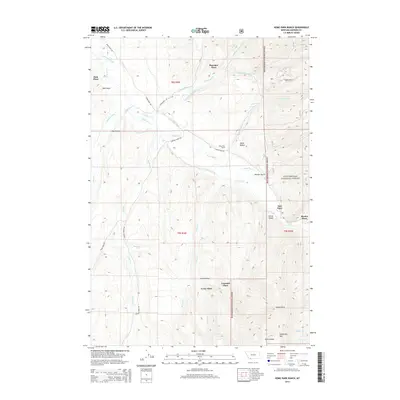
1988 Willow Creek Reservoir
Madison County, MT
1988 Willow Swamp
Madison County, MT
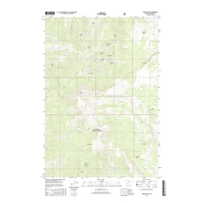
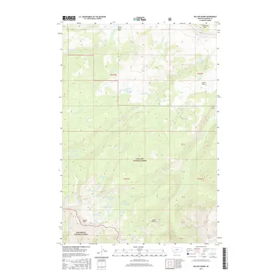
1988 Windy Hill
Madison County, MT
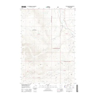
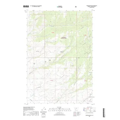
1989 Manhead Mountain
Madison County, MT
1989 Noble Peak
Madison County, MT
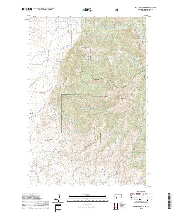
1989 Old Baldy Mountain
Madison County, MT
1989 Table Mountain
Madison County, MT
1989 Twin Bridges SW
Madison County, MT
1989 Waterloo
Madison County, MT
1993 Hebgen Lake
Madison County, MT
1996 Jefferson Island
Madison County, MT
1996 Manhead Mountain
Madison County, MT
1996 Table Mountain
Madison County, MT
1996 Waterloo
Madison County, MT
1997 Bad Luck Creek
Madison County, MT
1997 Big Horn Mountain
Madison County, MT
1997 Broomtail Ridge
Madison County, MT
1997 Bucks Nest
Madison County, MT
1997 Cherry Lake
Madison County, MT
1997 Cirque Lake
Madison County, MT
1997 Cliff Lake
Madison County, MT
1997 Copper Mountain
Madison County, MT
1997 Ennis Lake
Madison County, MT
1997 Eureka Basin
Madison County, MT
1997 Fan Mountain
Madison County, MT
1997 Freezeout Mountain
Madison County, MT
1997 Granite Mountain
Madison County, MT
1997 Home Park Ranch
Madison County, MT
1997 Iron Creek
Madison County, MT
1997 Lake Cameron
Madison County, MT
1997 Leonard Creek
Madison County, MT
1997 Lone Mountain
Madison County, MT
1997 Maltbys Mound
Madison County, MT
1997 Noble Peak
Madison County, MT
1997 No Man Peak
Madison County, MT
1997 Old Baldy Mountain
Madison County, MT
1997 Potosi Peak
Madison County, MT
1997 Ramshorn Mountain
Madison County, MT
1997 Ruby Dam
Madison County, MT
1997 Sphinx Mountain
Madison County, MT
1997 Spur Mountain
Madison County, MT
1997 Stonehouse Mountain
Madison County, MT
1997 Varney
Madison County, MT
1997 Warm Springs Creek
Madison County, MT
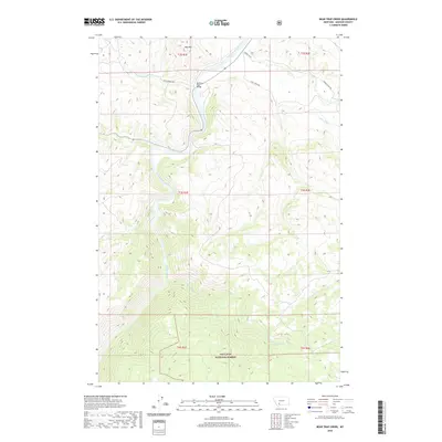
2000 Bear Trap Creek
Madison County, MT
2000 Cherry Creek Canyon
Madison County, MT
2000 Earthquake Lake
Madison County, MT
2000 Hilgard Peak
Madison County, MT
2000 Koch Peak
Madison County, MT
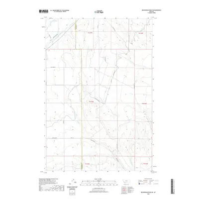
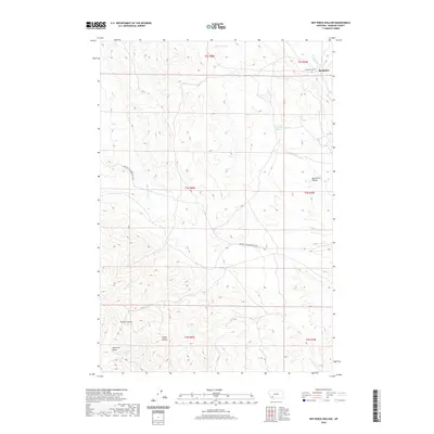
2000 Willow Swamp
Madison County, MT
2001 Stonehouse Mountain
Madison County, MT
2005 Sphinx Mountain
Madison County, MT
2011 Bad Luck Creek
Madison County, MT
2011 Bear Trap Creek
Madison County, MT
2011 Beaverhead Rock
Madison County, MT
2011 Beaverhead Rock NE
Madison County, MT
2011 Beaverhead Rock SE
Madison County, MT
2011 Beaverhead Rock SW
Madison County, MT
2011 Belmont Park Ranch
Madison County, MT
2011 Big Horn Mountain
Madison County, MT
2011 Block Mountain
Madison County, MT
2011 Broomtail Ridge
Madison County, MT
2011 Bucks Nest
Madison County, MT
2011 Cameron
Madison County, MT
2011 Cherry Creek Canyon
Madison County, MT

2011 Cherry Lake
Madison County, MT
2011 Christensen Ranch
Madison County, MT
2011 Cirque Lake
Madison County, MT
2011 Cliff Lake
Madison County, MT
2011 Copper Mountain
Madison County, MT
2011 Earthquake Lake
Madison County, MT
2011 Eightmile Creek
Madison County, MT
2011 Ennis Lake
Madison County, MT
2011 Eureka Basin
Madison County, MT
2011 Fan Mountain
Madison County, MT
2011 Freezeout Mountain
Madison County, MT
2011 Granite Mountain
Madison County, MT
2011 Hilgard Peak
Madison County, MT
2011 Home Park Ranch
Madison County, MT
2011 Iron Creek
Madison County, MT
2011 Jefferson Island
Madison County, MT
2011 Koch Peak
Madison County, MT
2011 Lake Cameron
Madison County, MT
2011 Laurin Canyon
Madison County, MT
2011 Leonard Creek
Madison County, MT

2011 Lone Mountain
Madison County, MT
2011 Maltbys Mound
Madison County, MT
2011 Manhead Mountain
Madison County, MT

2011 Metzel Ranch
Madison County, MT
2011 Mine Gulch
Madison County, MT
2011 Nez Perce Hollow
Madison County, MT
2011 Noble Peak
Madison County, MT
2011 No Man Peak
Madison County, MT
2011 Old Baldy Mountain
Madison County, MT
2011 Potosi Peak
Madison County, MT
2011 Ramshorn Mountain
Madison County, MT
2011 Red Canyon
Madison County, MT
2011 Ruby Dam
Madison County, MT
2011 Sphinx Mountain
Madison County, MT
2011 Spur Mountain
Madison County, MT
2011 Stonehouse Mountain
Madison County, MT
2011 Table Mountain
Madison County, MT
2011 Twin Bridges SW
Madison County, MT
2011 Varney
Madison County, MT
2011 Warm Springs Creek
Madison County, MT
2011 Waterloo
Madison County, MT
2011 Willow Creek Reservoir
Madison County, MT
2011 Willow Swamp
Madison County, MT

2011 Windy Hill
Madison County, MT
2014 Bad Luck Creek
Madison County, MT
2014 Bear Trap Creek
Madison County, MT
2014 Beaverhead Rock
Madison County, MT
2014 Beaverhead Rock NE
Madison County, MT
2014 Beaverhead Rock SE
Madison County, MT
2014 Beaverhead Rock SW
Madison County, MT
2014 Belmont Park Ranch
Madison County, MT
2014 Big Horn Mountain
Madison County, MT
2014 Block Mountain
Madison County, MT
2014 Broomtail Ridge
Madison County, MT
2014 Bucks Nest
Madison County, MT
2014 Cameron
Madison County, MT
2014 Cherry Creek Canyon
Madison County, MT
2014 Cherry Lake
Madison County, MT

2014 Christensen Ranch
Madison County, MT
2014 Cirque Lake
Madison County, MT
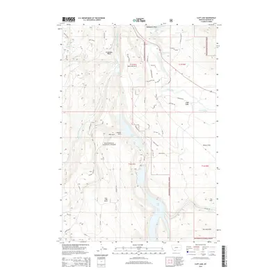
2014 Cliff Lake
Madison County, MT
2014 Copper Mountain
Madison County, MT
2014 Earthquake Lake
Madison County, MT
2014 Eightmile Creek
Madison County, MT
2014 Ennis Lake
Madison County, MT
2014 Eureka Basin
Madison County, MT
2014 Fan Mountain
Madison County, MT
2014 Freezeout Mountain
Madison County, MT
2014 Granite Mountain
Madison County, MT
2014 Hilgard Peak
Madison County, MT
2014 Home Park Ranch
Madison County, MT
2014 Iron Creek
Madison County, MT
2014 Jefferson Island
Madison County, MT
2014 Koch Peak
Madison County, MT
2014 Lake Cameron
Madison County, MT
2014 Laurin Canyon
Madison County, MT
2014 Leonard Creek
Madison County, MT
2014 Lone Mountain
Madison County, MT
2014 Maltbys Mound
Madison County, MT
2014 Manhead Mountain
Madison County, MT
2014 Metzel Ranch
Madison County, MT
2014 Mine Gulch
Madison County, MT
2014 Nez Perce Hollow
Madison County, MT
2014 Noble Peak
Madison County, MT
2014 No Man Peak
Madison County, MT
2014 Old Baldy Mountain
Madison County, MT
2014 Potosi Peak
Madison County, MT
2014 Ramshorn Mountain
Madison County, MT
2014 Red Canyon
Madison County, MT
2014 Ruby Dam
Madison County, MT
2014 Sphinx Mountain
Madison County, MT
2014 Spur Mountain
Madison County, MT
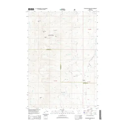
2014 Stonehouse Mountain
Madison County, MT
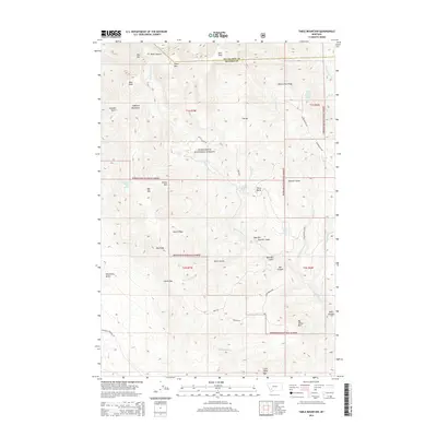
2014 Table Mountain
Madison County, MT
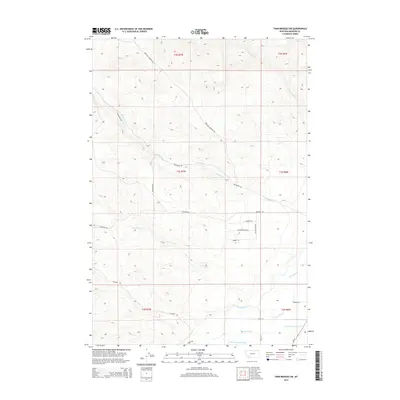
2014 Twin Bridges SW
Madison County, MT
2014 Varney
Madison County, MT
2014 Warm Springs Creek
Madison County, MT
2014 Waterloo
Madison County, MT
2014 Willow Creek Reservoir
Madison County, MT
2014 Willow Swamp
Madison County, MT
2014 Windy Hill
Madison County, MT
2017 Bad Luck Creek
Madison County, MT
2017 Bear Trap Creek
Madison County, MT
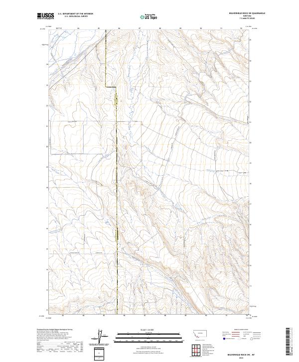
2017 Beaverhead Rock
Madison County, MT
2017 Beaverhead Rock NE
Madison County, MT
2017 Beaverhead Rock SE
Madison County, MT
2017 Beaverhead Rock SW
Madison County, MT
2017 Belmont Park Ranch
Madison County, MT
2017 Big Horn Mountain
Madison County, MT
2017 Block Mountain
Madison County, MT
2017 Broomtail Ridge
Madison County, MT
2017 Bucks Nest
Madison County, MT
2017 Cameron
Madison County, MT
2017 Cherry Creek Canyon
Madison County, MT
2017 Cherry Lake
Madison County, MT
2017 Christensen Ranch
Madison County, MT
2017 Cirque Lake
Madison County, MT
2017 Cliff Lake
Madison County, MT
2017 Copper Mountain
Madison County, MT
2017 Earthquake Lake
Madison County, MT
2017 Eightmile Creek
Madison County, MT
2017 Ennis Lake
Madison County, MT
2017 Eureka Basin
Madison County, MT
2017 Fan Mountain
Madison County, MT
2017 Freezeout Mountain
Madison County, MT
2017 Granite Mountain
Madison County, MT
2017 Hilgard Peak
Madison County, MT
2017 Home Park Ranch
Madison County, MT
2017 Iron Creek
Madison County, MT
2017 Jefferson Island
Madison County, MT
2017 Koch Peak
Madison County, MT
2017 Lake Cameron
Madison County, MT
2017 Laurin Canyon
Madison County, MT
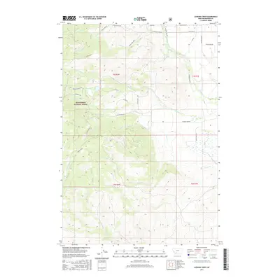
2017 Leonard Creek
Madison County, MT
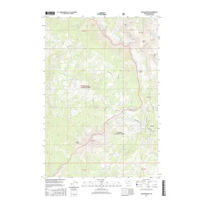
2017 Lone Mountain
Madison County, MT

2017 Maltbys Mound
Madison County, MT
2017 Manhead Mountain
Madison County, MT
2017 Metzel Ranch
Madison County, MT

2017 Mine Gulch
Madison County, MT
2017 Nez Perce Hollow
Madison County, MT
2017 Noble Peak
Madison County, MT
2017 No Man Peak
Madison County, MT
2017 Old Baldy Mountain
Madison County, MT
2017 Potosi Peak
Madison County, MT
2017 Ramshorn Mountain
Madison County, MT
2017 Red Canyon
Madison County, MT
2017 Ruby Dam
Madison County, MT
2017 Sphinx Mountain
Madison County, MT

2017 Spur Mountain
Madison County, MT
2017 Stonehouse Mountain
Madison County, MT
2017 Table Mountain
Madison County, MT
2017 Twin Bridges SW
Madison County, MT
2017 Varney
Madison County, MT
2017 Warm Springs Creek
Madison County, MT
2017 Waterloo
Madison County, MT
2017 Willow Creek Reservoir
Madison County, MT
2017 Willow Swamp
Madison County, MT
2017 Windy Hill
Madison County, MT
2020 Bad Luck Creek
Madison County, MT
2020 Bear Trap Creek
Madison County, MT
2020 Beaverhead Rock
Madison County, MT
2020 Beaverhead Rock NE
Madison County, MT
2020 Beaverhead Rock SE
Madison County, MT
2020 Beaverhead Rock SW
Madison County, MT
2020 Belmont Park Ranch
Madison County, MT
2020 Big Horn Mountain
Madison County, MT
2020 Block Mountain
Madison County, MT
2020 Broomtail Ridge
Madison County, MT
2020 Bucks Nest
Madison County, MT
2020 Cameron
Madison County, MT
2020 Cherry Creek Canyon
Madison County, MT
2020 Cherry Lake
Madison County, MT
2020 Christensen Ranch
Madison County, MT
2020 Cirque Lake
Madison County, MT
2020 Cliff Lake
Madison County, MT
2020 Copper Mountain
Madison County, MT
2020 Earthquake Lake
Madison County, MT
2020 Eightmile Creek
Madison County, MT
2020 Ennis Lake
Madison County, MT
2020 Eureka Basin
Madison County, MT

2020 Fan Mountain
Madison County, MT
2020 Freezeout Mountain
Madison County, MT
2020 Granite Mountain
Madison County, MT
2020 Hilgard Peak
Madison County, MT
2020 Home Park Ranch
Madison County, MT
2020 Iron Creek
Madison County, MT
2020 Jefferson Island
Madison County, MT
2020 Koch Peak
Madison County, MT
2020 Lake Cameron
Madison County, MT
2020 Laurin Canyon
Madison County, MT
2020 Leonard Creek
Madison County, MT
2020 Lone Mountain
Madison County, MT
2020 Maltbys Mound
Madison County, MT
2020 Manhead Mountain
Madison County, MT
2020 Metzel Ranch
Madison County, MT
2020 Mine Gulch
Madison County, MT
2020 Nez Perce Hollow
Madison County, MT
2020 Noble Peak
Madison County, MT
2020 No Man Peak
Madison County, MT
2020 Old Baldy Mountain
Madison County, MT
2020 Potosi Peak
Madison County, MT
2020 Ramshorn Mountain
Madison County, MT
2020 Red Canyon
Madison County, MT
2020 Ruby Dam
Madison County, MT
2020 Sphinx Mountain
Madison County, MT
2020 Spur Mountain
Madison County, MT
2020 Stonehouse Mountain
Madison County, MT
2020 Table Mountain
Madison County, MT
2020 Twin Bridges SW
Madison County, MT
2020 Varney
Madison County, MT
2020 Warm Springs Creek
Madison County, MT
2020 Waterloo
Madison County, MT
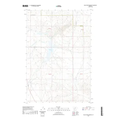
2020 Willow Creek Reservoir
Madison County, MT
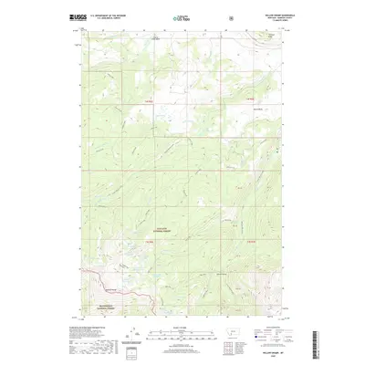
2020 Willow Swamp
Madison County, MT
2020 Windy Hill
Madison County, MT
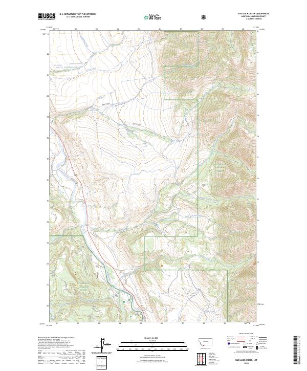
2024 Bad Luck Creek
Madison County, MT
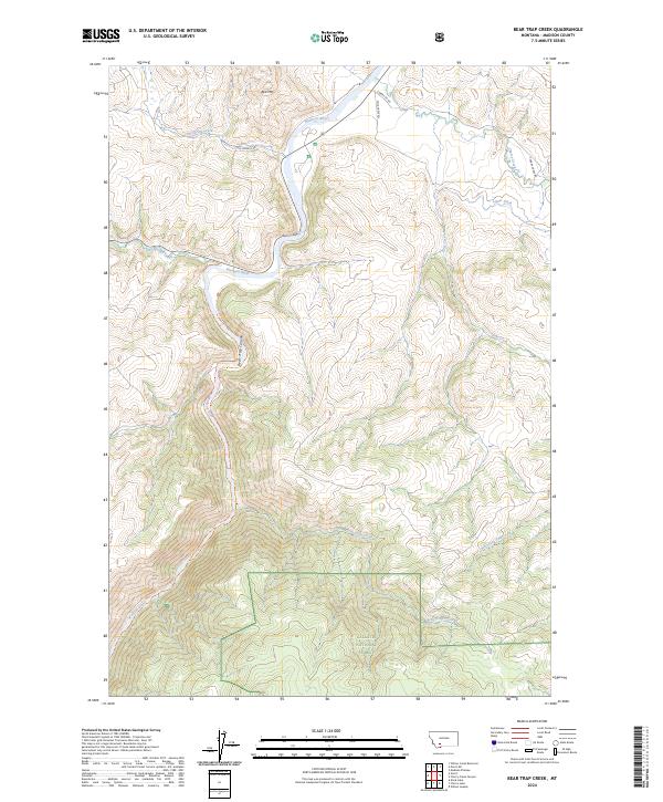
2024 Bear Trap Creek
Madison County, MT
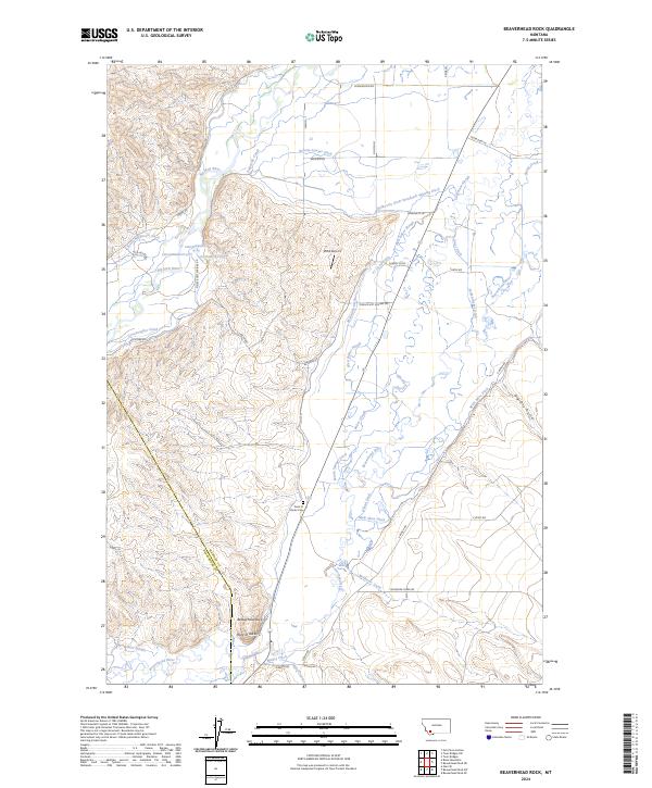
2024 Beaverhead Rock
Madison County, MT
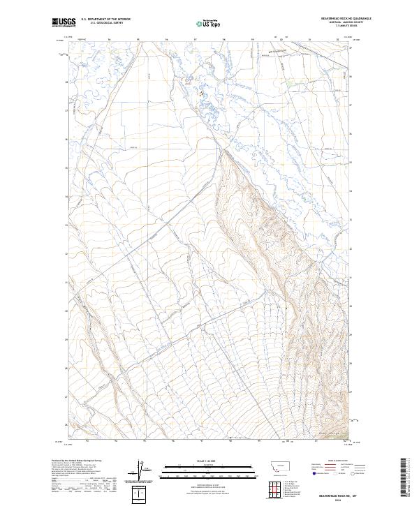
2024 Beaverhead Rock NE
Madison County, MT
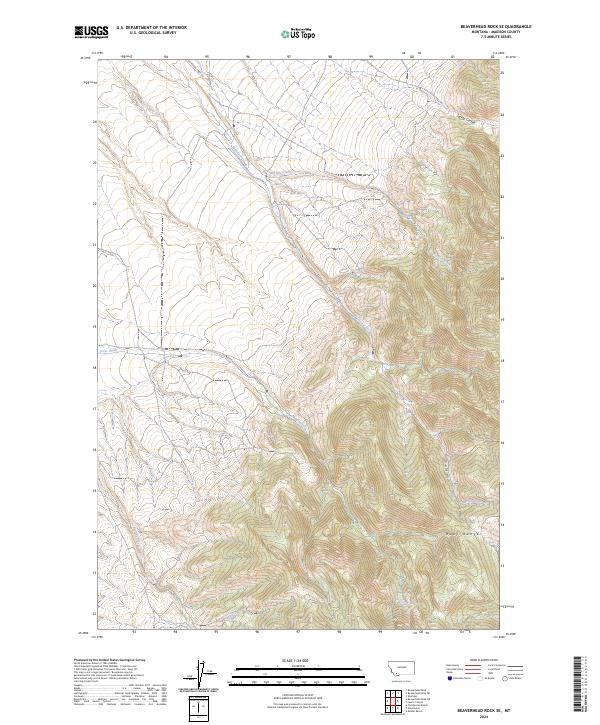
2024 Beaverhead Rock SE
Madison County, MT
2024 Beaverhead Rock SW
Madison County, MT
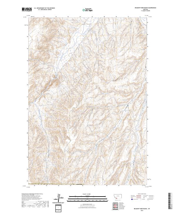
2024 Belmont Park Ranch
Madison County, MT
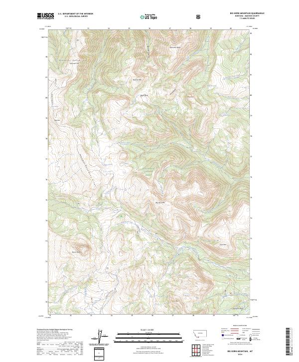
2024 Big Horn Mountain
Madison County, MT
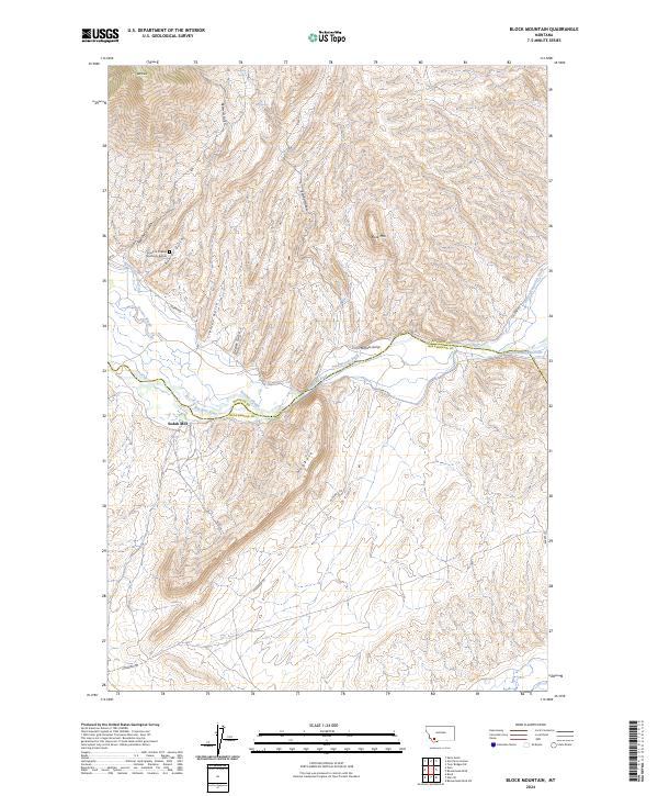
2024 Block Mountain
Madison County, MT
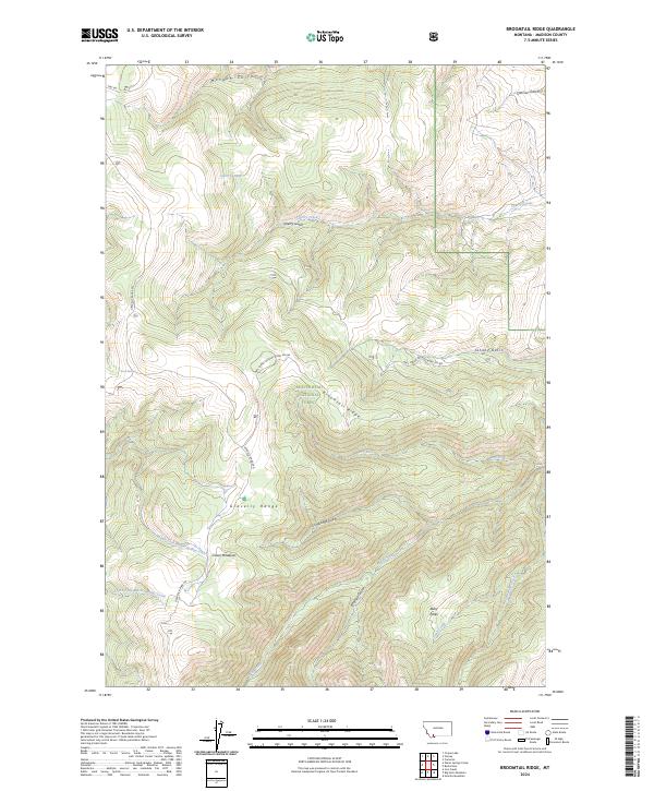
2024 Broomtail Ridge
Madison County, MT
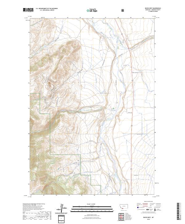
2024 Bucks Nest
Madison County, MT
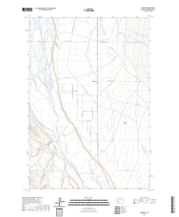
2024 Cameron
Madison County, MT
2024 Cherry Creek Canyon
Madison County, MT
2024 Cherry Lake
Madison County, MT
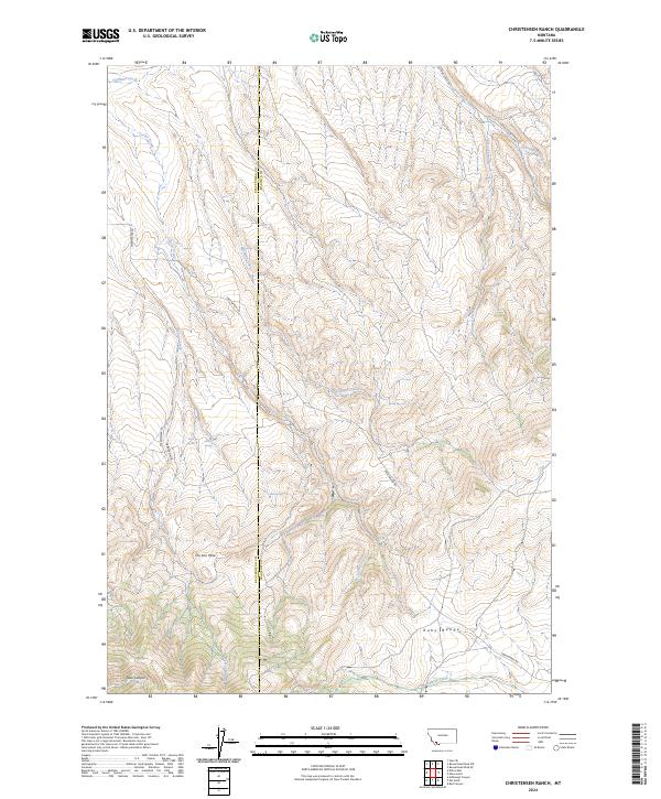
2024 Christensen Ranch
Madison County, MT
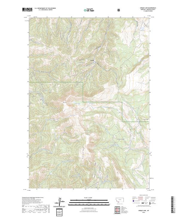
2024 Cirque Lake
Madison County, MT
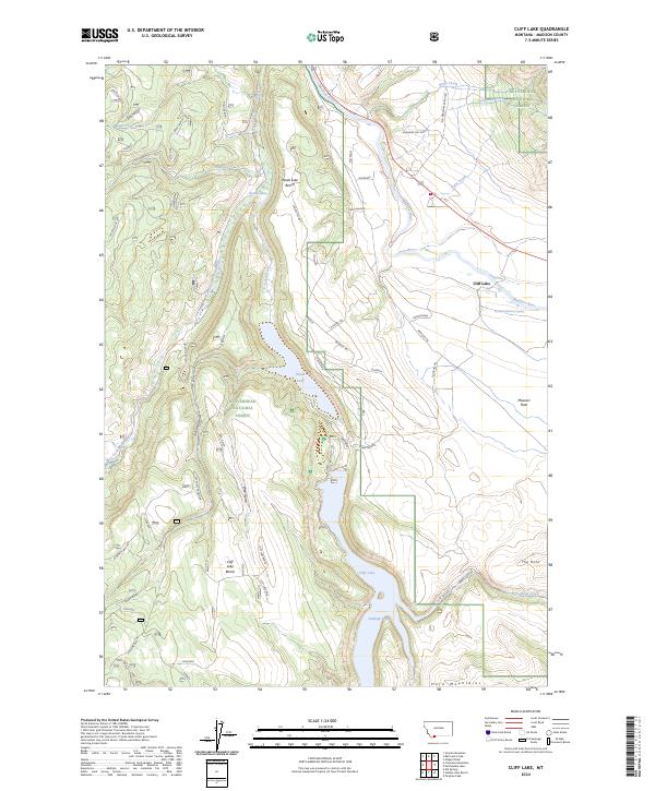
2024 Cliff Lake
Madison County, MT
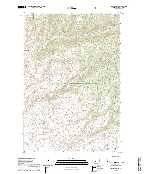
2024 Copper Mountain
Madison County, MT
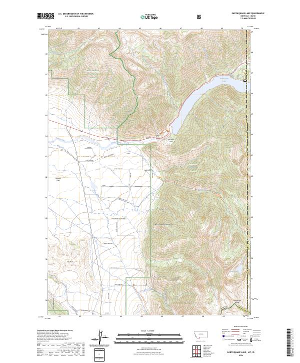
2024 Earthquake Lake
Madison County, MT
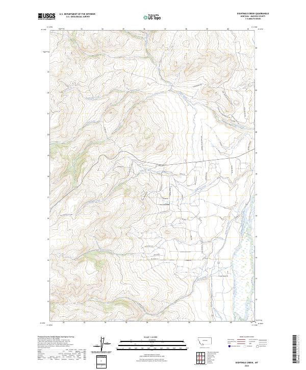
2024 Eightmile Creek
Madison County, MT
2024 Ennis Lake
Madison County, MT
2024 Eureka Basin
Madison County, MT
2024 Fan Mountain
Madison County, MT
2024 Freezeout Mountain
Madison County, MT
2024 Granite Mountain
Madison County, MT
2024 Hilgard Peak
Madison County, MT
2024 Home Park Ranch
Madison County, MT
2024 Iron Creek
Madison County, MT
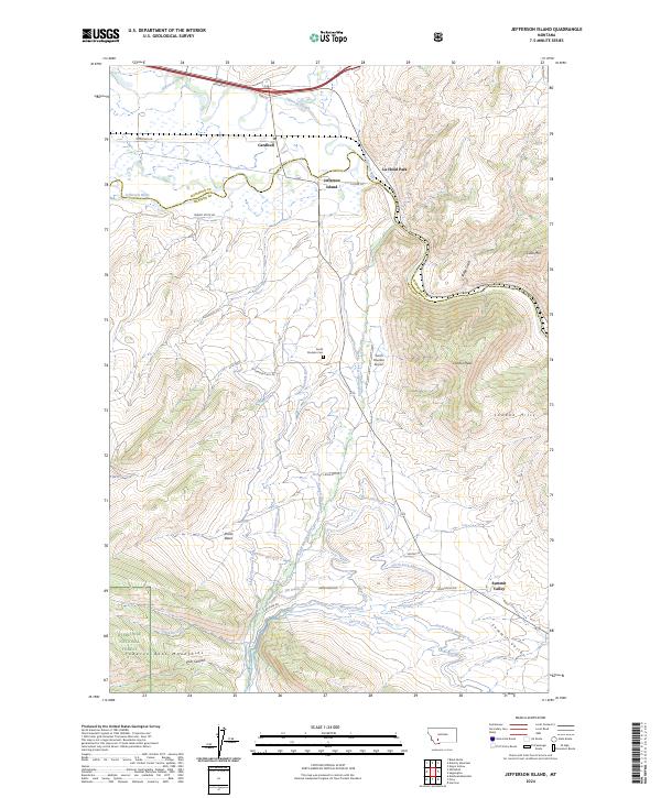
2024 Jefferson Island
Madison County, MT
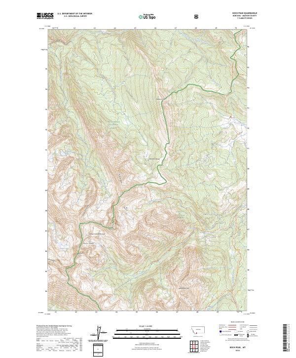
2024 Koch Peak
Madison County, MT
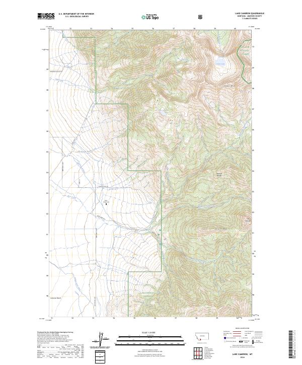
2024 Lake Cameron
Madison County, MT
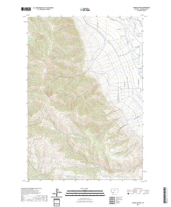
2024 Laurin Canyon
Madison County, MT
2024 Leonard Creek
Madison County, MT
2024 Lone Mountain
Madison County, MT
2024 Maltbys Mound
Madison County, MT
2024 Manhead Mountain
Madison County, MT
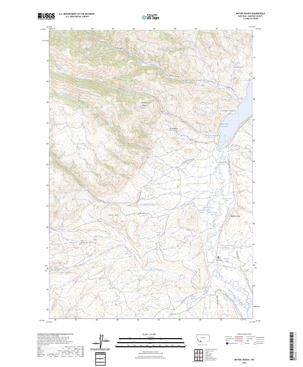
2024 Metzel Ranch
Madison County, MT
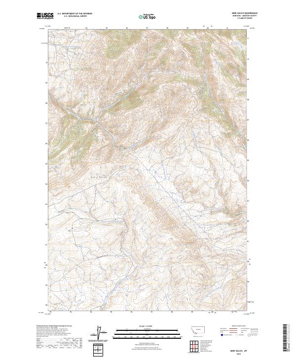
2024 Mine Gulch
Madison County, MT
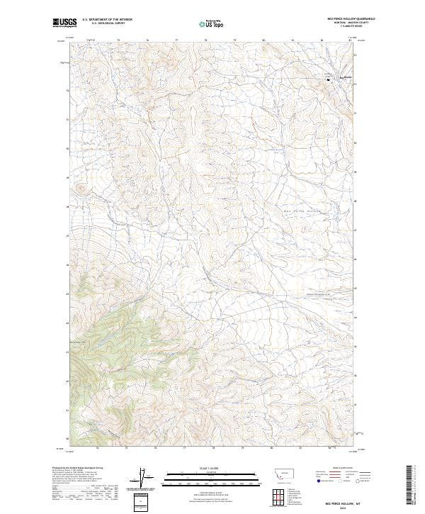
2024 Nez Perce Hollow
Madison County, MT
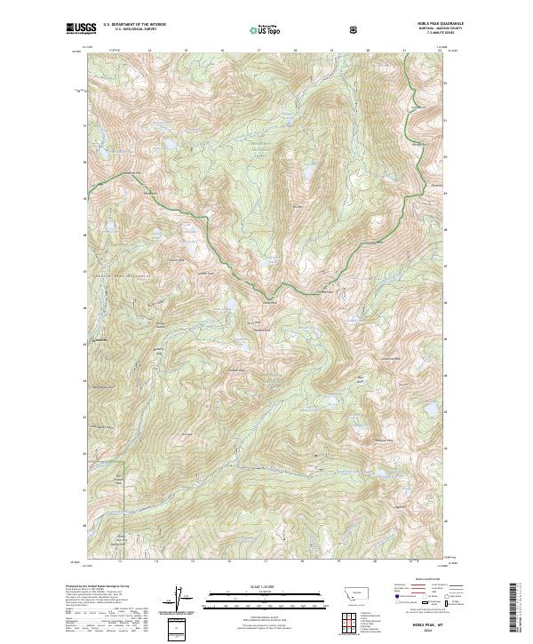
2024 Noble Peak
Madison County, MT
2024 No Man Peak
Madison County, MT
2024 Old Baldy Mountain
Madison County, MT
2024 Potosi Peak
Madison County, MT
2024 Ramshorn Mountain
Madison County, MT
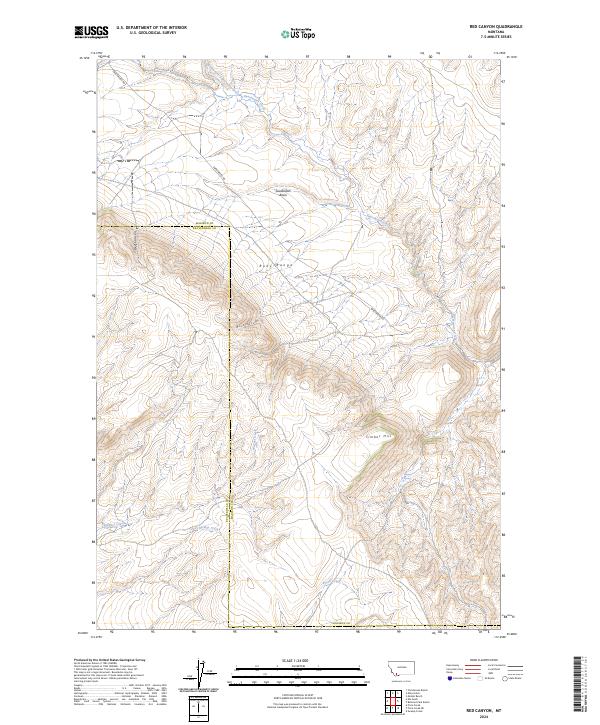
2024 Red Canyon
Madison County, MT
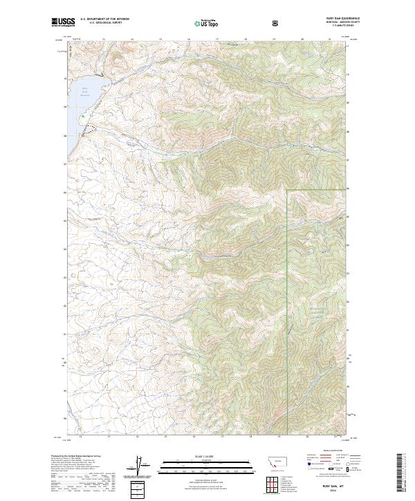
2024 Ruby Dam
Madison County, MT
2024 Sphinx Mountain
Madison County, MT
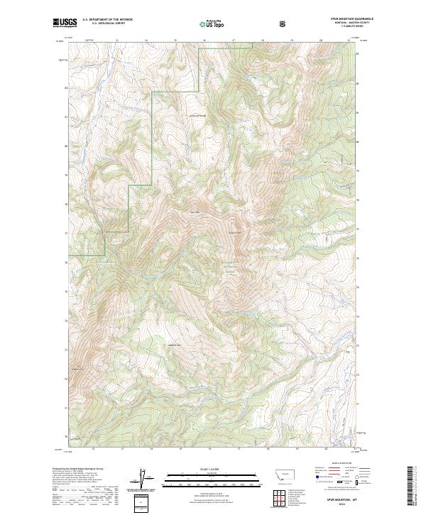
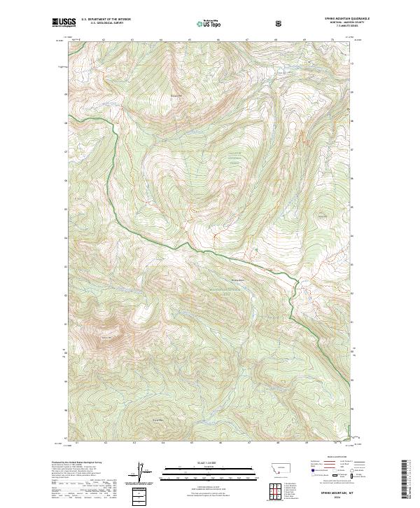
2024 Spur Mountain
Madison County, MT
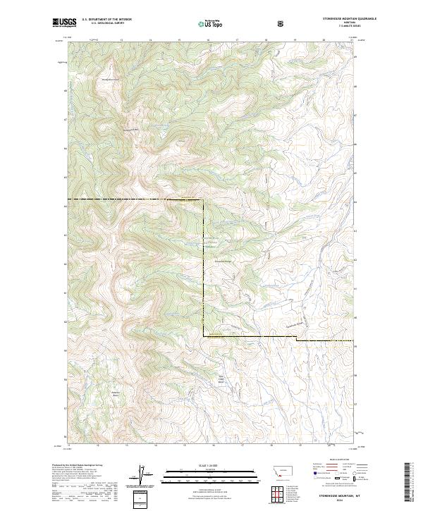
2024 Stonehouse Mountain
Madison County, MT
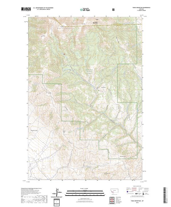
2024 Table Mountain
Madison County, MT
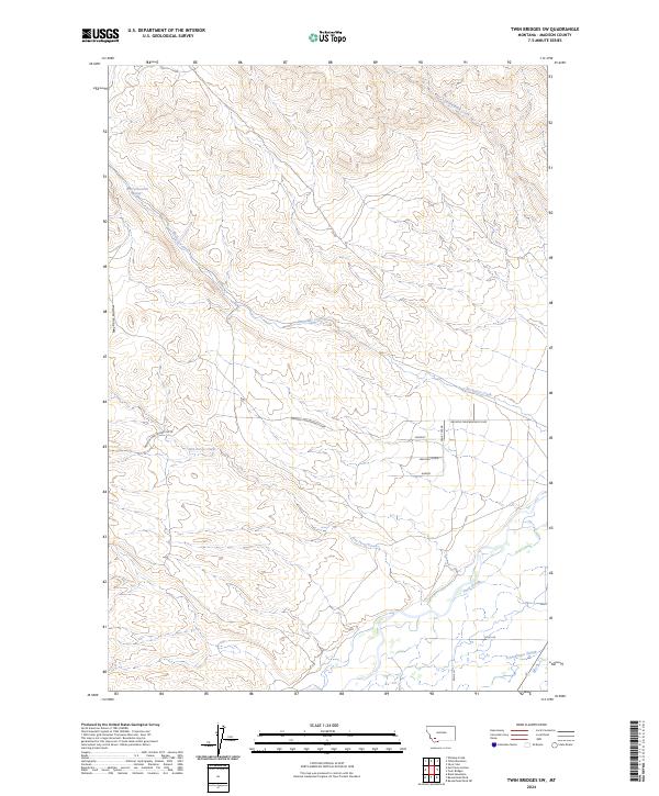
2024 Twin Bridges SW
Madison County, MT
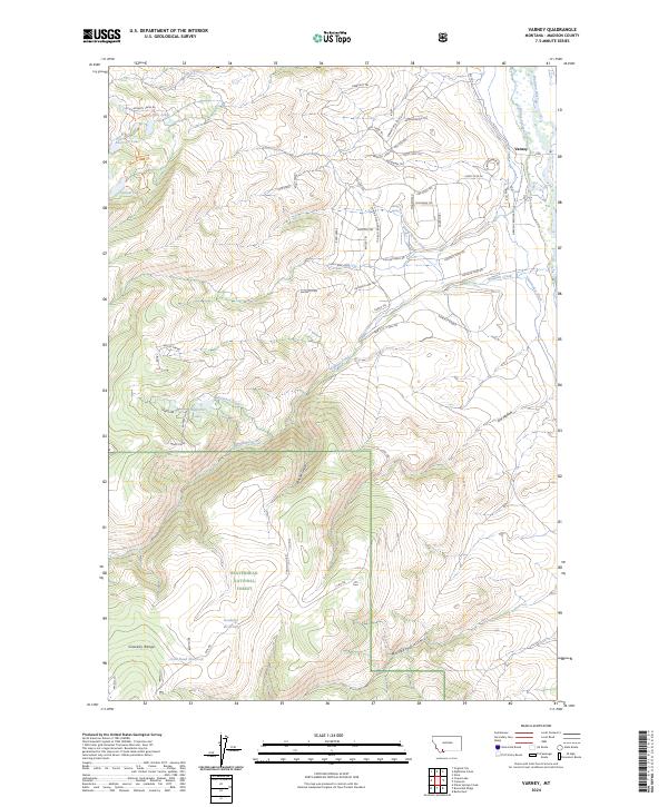
2024 Varney
Madison County, MT
2024 Warm Springs Creek
Madison County, MT
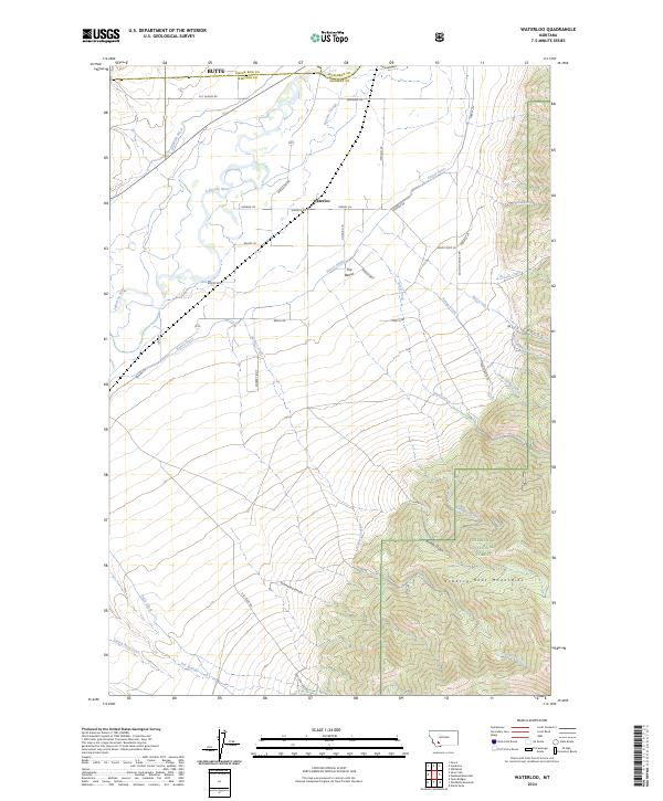
2024 Waterloo
Madison County, MT
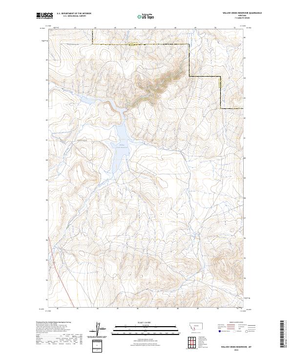
2024 Willow Creek Reservoir
Madison County, MT
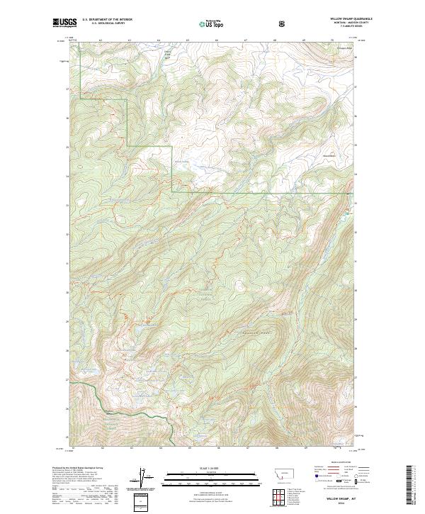
2024 Willow Swamp
Madison County, MT
2024 Windy Hill
Madison County, MT